Andy Hooper is Professor of Geodesy and Geophysics at the University of Leeds. He has developed new methods for modelling the volcanic and tectonic processes that lead to ground deformation, and led the geodetic monitoring from space and subsequent modelling for the 2010 Icelandic volcanic eruptions whilst also discovering a new link between ice cap retreat and volcanism.
Research into an Icelandic eruption, published in Nature, sheds new light on how the Earth’s crust forms
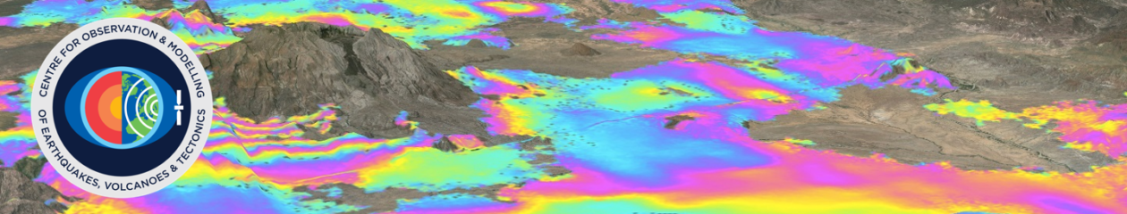
When Iceland’s Bárðarbunga volcano reawakened in August 2014, we had a rare opportunity to monitor how the magma flowed away from the volcano through cracks in the rock.
New crust forms where two tectonic plates are moving away from each other. This mostly happens beneath the oceans, where it is difficult to observe. However, in Iceland this happens beneath dry land, and the events of 2014 were the first time that such a rifting episode had been observed with modern tools like GPS and satellite radar.
Although it has a long history of eruptions, Bárðarbunga has been increasingly restless since 2005. There was a particularly dynamic period in August and September 2014, when more than 22,000 earthquakes were recorded in or around the volcano in just four weeks. These were due to stress being released as magma forced its way through the rock, forming sheet-like features known as dykes.
Using GPS and satellite radar measurements, we were able to track the path of the magma underground for over 45 km before it began to erupt at the surface. Lava continued to flow until February 2015.
We were able to show that the dyke propagated at a variable rate, slowing as the magma reached natural barriers, which were then overcome by the build-up of pressure and the initiation of a new segment. The observations explain how the magma rising up underneath volcanoes can be redistributed over larger areas to create new crust where tectonic plates are pulling apart.

Like other liquids, magma flows along the path of least resistance, and we were able to use this simple principle to explain why the dyke at Bárðarbunga changed direction as it progressed. To start with, the magma flow was influenced mostly by the overlying topography, but as it moved away from the steeper slopes, stresses from the extensional plate movements became more important in controlling the direction of propagation.
Using radar measurements, we also formed an image of caldera movement over one day. Usually we expect to see just noise in the image, but were amazed to see up to 55 cm of subsidence. The ice inside Bárðarbunga’s caldera sunk by 16m in total over two weeks as the volcano floor collapsed.
Overall, our observations show that the magma injected into the crust took an incredibly roundabout path and proceeded in fits and starts. Initially we were surprised at this complexity, but the twists and turns can actually be explained by a relatively simple model which considers just the pressure of rock and ice above and the pull exerted by the plates moving apart.
Reference
Sigmundsson, F., Hooper, A., Hreinsdóttir, S., Vogfjörd, K.S., Ófeigsson, B.G., Heimisson, E.R., Dumont, S., Parks, M., Spaans, K., Gudmundsson, G.B., Drouin, V., Árnadóttir, T., Jónsdóttir, K., Gudmundsson, M.T., Högnadóttir, T., Fridriksdóttir, H.M., Hensch, M., Einarsson, P., Magnússon, E., Samsonov, S., Brandsdóttir, B., White, R.S., Ágústsdóttir, T., Greenfield, T., Green, R.G., Hjartardóttir, Á.R., Pedersen, R., Bennett, R.A., Geirsson, H., la Femina, P.C., Björnsson, H., Pálsson, F., Sturkell, E., Bean, C.J., Möllhoff, M., Braiden, A.K., Eibl, E.P.S (2014) Segmented lateral dyke growth in a rifting event at Bardarbunga volcanic system, Iceland, Nature 517, 191-195. doi:10.1038/nature14111