
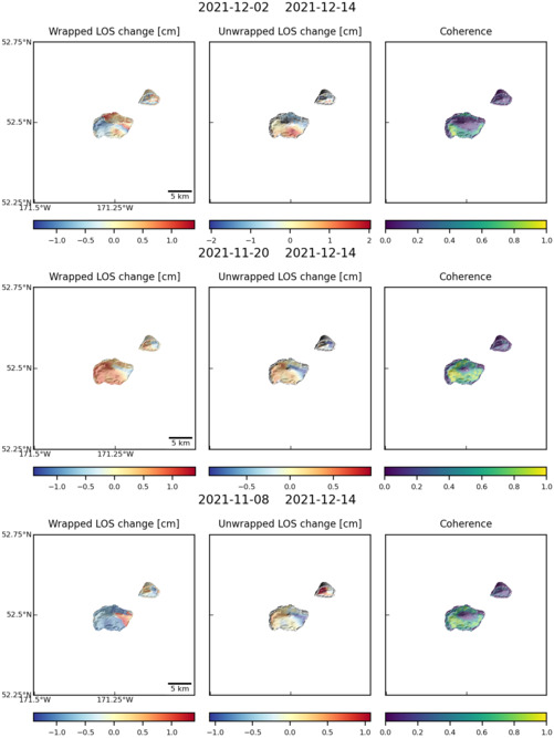
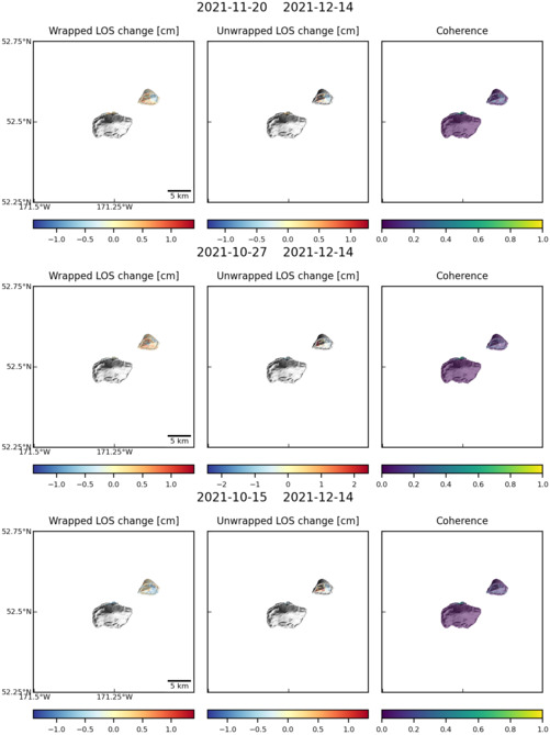
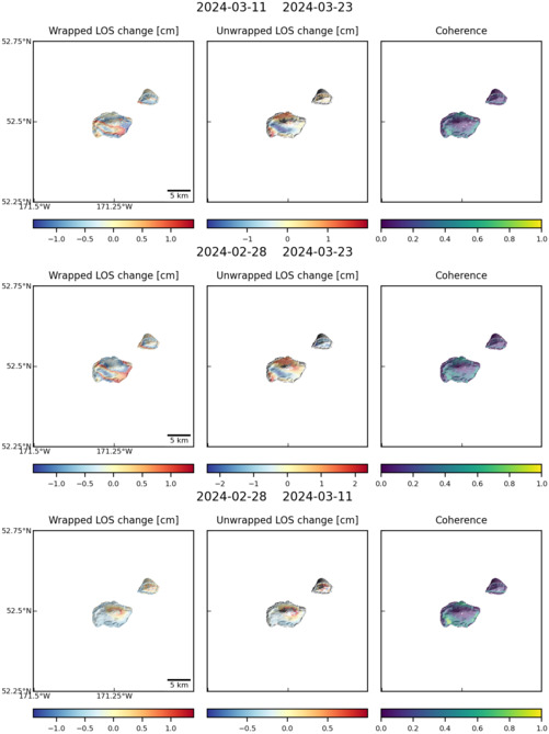
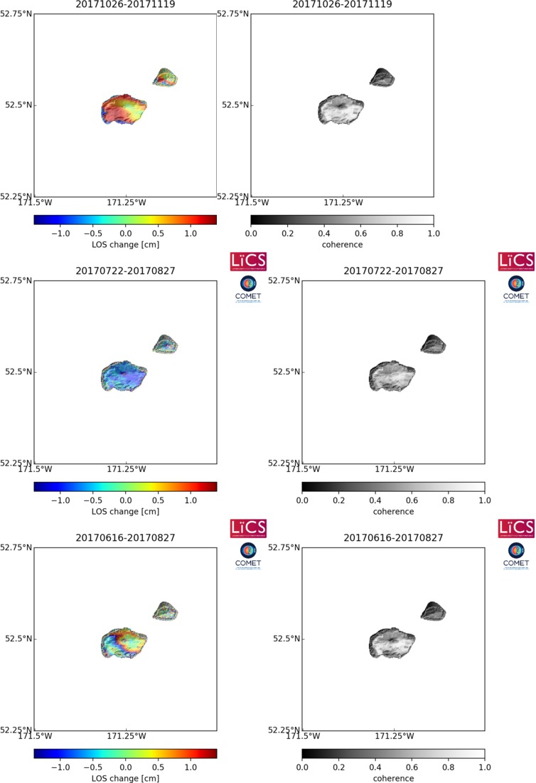
Observations of Deformation
| Volcano number: | 311190 |
|---|---|
| Region: | Alaska |
| Country: | United States |
| Geodetic measurements? | Yes |
| Deformation observation? | Yes |
| Measurement method(s): | InSAR |
| Duration of observation: | 1993 - 2000, 2004 - 2009 |
| Inferred cause(s) of deformation: | Magmatic, Surface deposits |
| Characteristics of deformation: | Interferograms covering the volcano show two regions of subsidence. The first is location on the southeastern flank of the volcano with deformation occuring at rates of ~0.5 cm/yr. This deformation is modelled by a point source at <1 km depth and is thought to originate from cooling and degassing of magma intruded during eruptions in 1987 and 1996. A second region of subsidence at rates of ~1 mm/yr is seen on the lower southwestern flank. This is in a region of lava flows thought to originate from the 1963 eruption, and subsidence is therefore attributed to thermoelastic constraction of lava flows. |
| Reference(s): | Lu, Z., and Dzurisin, D., 2014, InSAR imaging of Aleutian volcanoes: Chichester, UK, Springer-Praxis, 390 p. |
| U.S. Geological Survey Alaska Volcano Observatory (AVO) website http://www.avo.alaska.edu/volcanoes/volcinfo.php?volcname=Amukta | |
| Location: | 52.5, -171.252 |
| REST API endpoint (JSON): | https://comet.nerc.ac.uk/wp-json/volcanodb/v1/volcano/1015 |
Latest Sentinel-1 Data
Size: 501px x 667px (59.97 KB)
Size: 501px x 669px (57.48 KB)
Size: 501px x 669px (58.57 KB)
Size: 754px x 1100px (92.24 KB)