
Observations of Deformation
| Volcano number: | 225005 |
|---|---|
| Region: | Africa and Red Sea |
| Country: | Algeria |
| Geodetic measurements? | No |
| Measurement method(s): | No measurements |
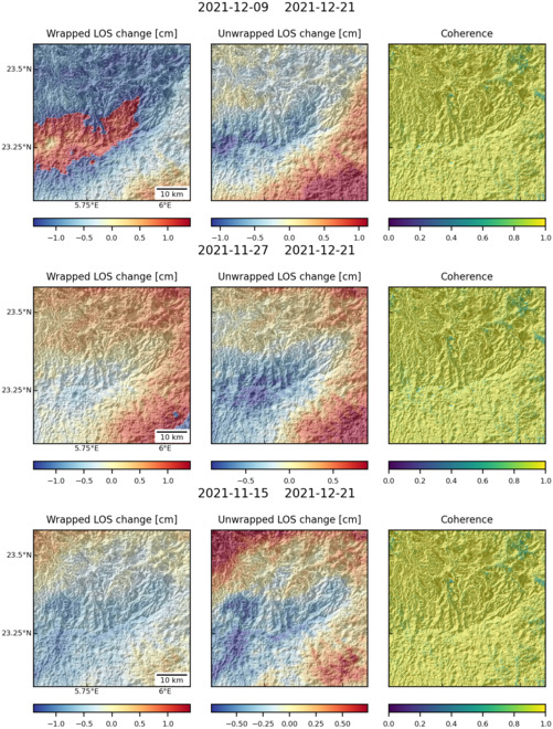
| Characteristics of deformation: | No geodetic measurements have ever been made at the Atakor Volcanic Field, a 2150 sq km volcanic (mostly basaltic) field. The most recent eruption is thought to be around 10,000 years ago, and some fumarolic and seismic activity has been recorded in historical time. |
| Reference(s): | Assouni-Sekkal A, Bonin B, Benhallou A, Yahiaoui R, Liegeois J-P, 2007. Cenozoic alkaline volcanism of the Atakor massif, Hoggar, Algeria. In: Beccaluva L, Bianchini G, Wilson M (eds) Cenozoic Volcanism in the Mediterranean Area, (Geol Soc Amer Spec Paper), 418: 321-340. |
| NASA Landsat7 image (worldwind.arc.nasa.gov). | |
| Location: | 23.33, 5.83 |
| REST API endpoint (JSON): | https://comet.nerc.ac.uk/wp-json/volcanodb/v1/volcano/1574 |
Latest Sentinel-1 Data
Size: 501px x 660px (160.92 KB)