
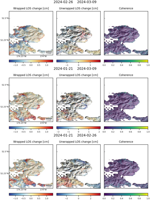
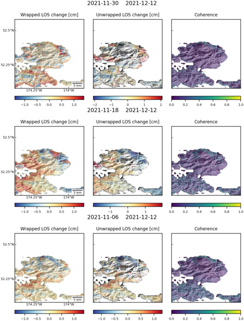
Observations of Deformation
| Volcano number: | 311160 |
|---|---|
| Region: | Alaska |
| Country: | United States |
| Geodetic measurements? | Yes |
| Deformation observation? | Yes |
| Measurement method(s): | InSAR |
| Duration of observation: | 1997 - 2007 |
| Inferred cause(s) of deformation: | Hydrothermal, Magmatic |
| Characteristics of deformation: | Atka volcanic center also includes the volcanoes Korovin and Kliuchef. Kliuchef showed a small amount of localised subsidence during 1997–1998, 1998–1999, and 2004 – 2005. Uplift in this region was then observed during 1999 – 2000, 2003 – 2004 and again in June 2006 continuing until the time of the last InSAR observations. |
| Reference(s): | Lu, Z., and Dzurisin, D., 2014, InSAR imaging of Aleutian volcanoes: Chichester, UK, Springer-Praxis, 390 p. |
| U.S. Geological Survey Alaska Volcano Observatory (AVO) website http://www.avo.alaska.edu/volcanoes/volcinfo.php?volcname=Atka | |
| Location: | 52.332, -174.137 |
| REST API endpoint (JSON): | https://comet.nerc.ac.uk/wp-json/volcanodb/v1/volcano/1024 |
Latest Sentinel-1 Data
Size: 501px x 669px (119.81 KB)
Size: 501px x 660px (117.12 KB)