Observations of Deformation
| Volcano number: | 221010 |
|---|---|
| Region: | Africa and Red Sea |
| Country: | Yemen |
| Geodetic measurements? | Yes |
| Deformation observation? | Yes |
| Measurement method(s): | InSAR |
| Duration of observation: | Dec 2006 - April 2010 |
| Inferred cause(s) of deformation: | Magmatic |
| Characteristics of deformation: | High resolution optical imagery and InSAR data were used to study an eruption at Jebel at Tair that occurred between Sept 2007 and Jan 2008. Xu and Jónsson (2014) compared pre- and post-eruptive optical imagery to identify fissures and new scoria cones. They identified that 5.9 ± 0.1 km2 of new lava was extruded onto the island. They used decorrelation in the InSAR images indicates that lava flowed both to the western and to the northeastern part of the island after the start of the eruption, while later lavas were mainly deposited near the summit and onto the north flank of the volcano. They also note that no volcano-wide pre- or post-eruption uplift is observed, suggesting a deep magma source. |
| Reference(s): | Xu, W., & Jónsson, S. (2014). The 2007–8 volcanic eruption on Jebel at Tair island (Red Sea) observed by satellite radar and optical images. Bulletin of Volcanology, 76(2), 1-14. |
| http://volcano.si.edu/volcano.cfm?vn=221010 | |
| Location: | 15.55, 41.83 |
| REST API endpoint (JSON): | https://comet.nerc.ac.uk/wp-json/volcanodb/v1/volcano/3233 |
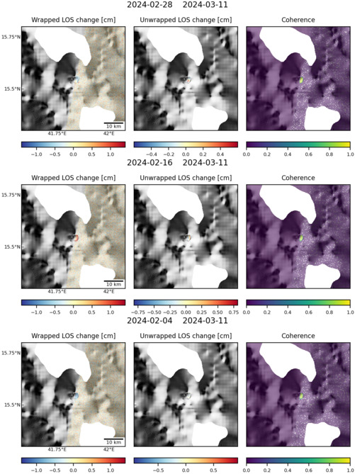
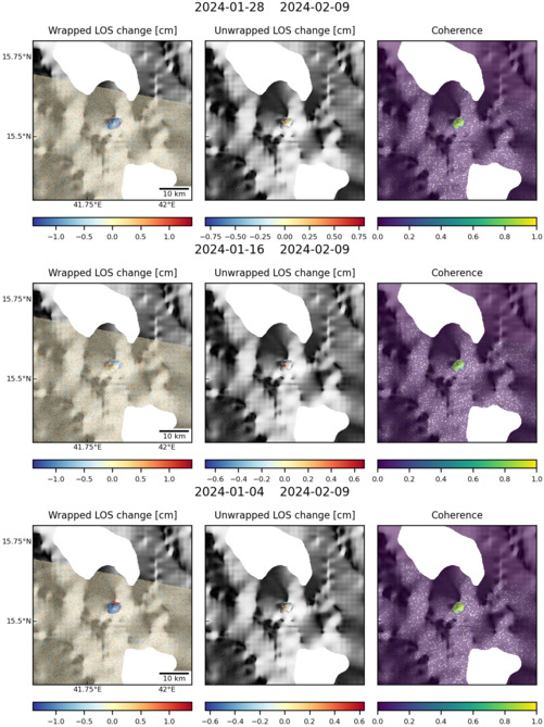
Latest Sentinel-1 Data
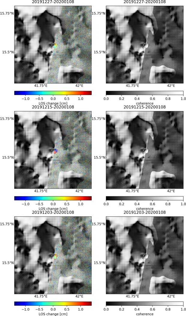
Size: 619px x 1050px (188.45 KB)
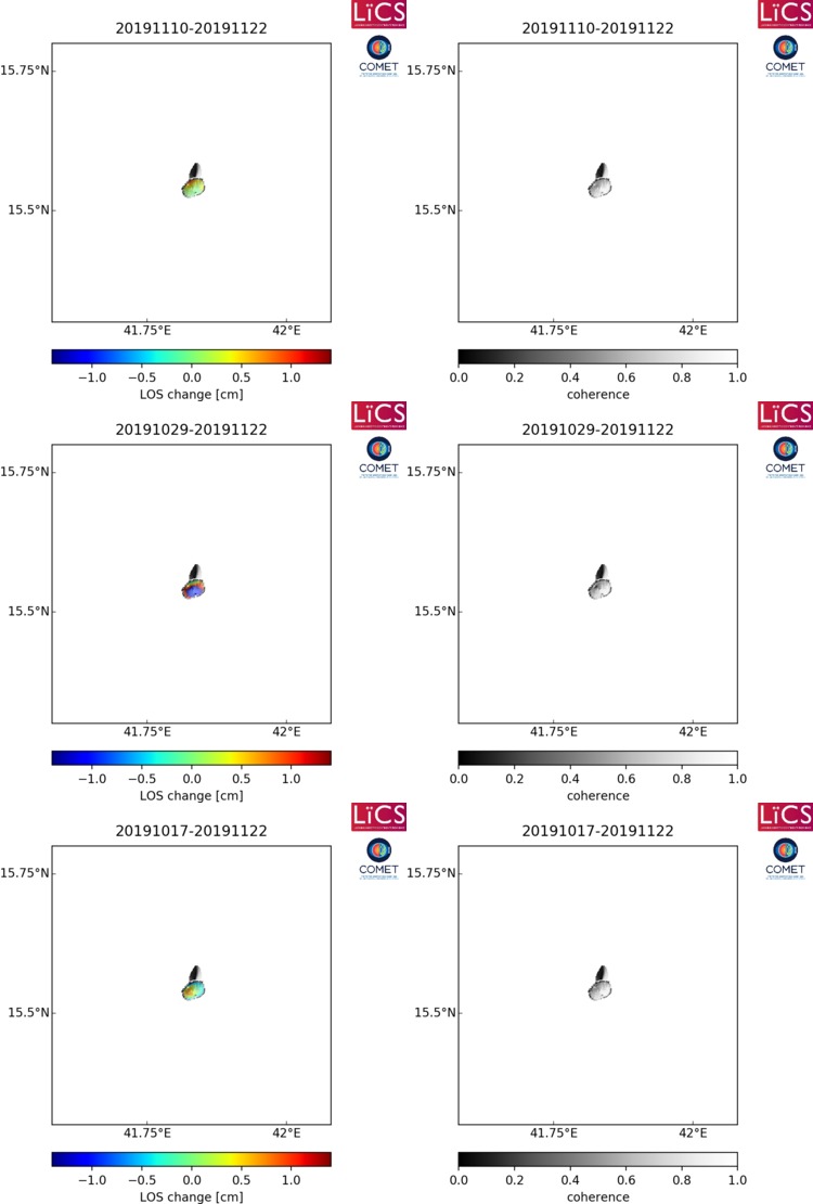
Size: 750px x 1110px (80.82 KB)

Size: 501px x 666px (94.65 KB)
Size: 501px x 669px (110.86 KB)
Size: 501px x 669px (118.71 KB)
Size: 750px x 1110px (80.35 KB)
