
Observations of Deformation
| Volcano number: | 273083 |
|---|---|
| Region: | Philippines and SE Asia |
| Country: | Philippines |
| Geodetic measurements? | Yes |
| Deformation observation? | Yes |
| Measurement method(s): | Tiltmeter |
| Duration of observation: | 1991 |
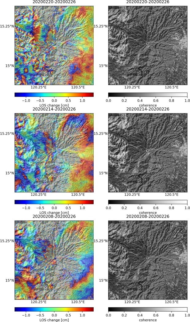
| Characteristics of deformation: | Tiltmeters detected 50 rad of cumulative tilt over the three days prior to the magma presumably reaching the surface and a lava dome beginning to form on June 7 1991 (Ewert et al., 1996). |
| Reference(s): | Ewert, J.W., Lockhart, A.B., Marcial, S. and Ambubuyog, G., 1996. Ground deformation prior to the 1991 eruptions of Mount Pinatubo. Fire and Mud. Eruptions and lahars of Mount Pinatubo, Philippines. University of Washington Press, Seattle, pp.329-338. |
| Location: | 15.13, 120.35 |
| REST API endpoint (JSON): | https://comet.nerc.ac.uk/wp-json/volcanodb/v1/volcano/3610 |
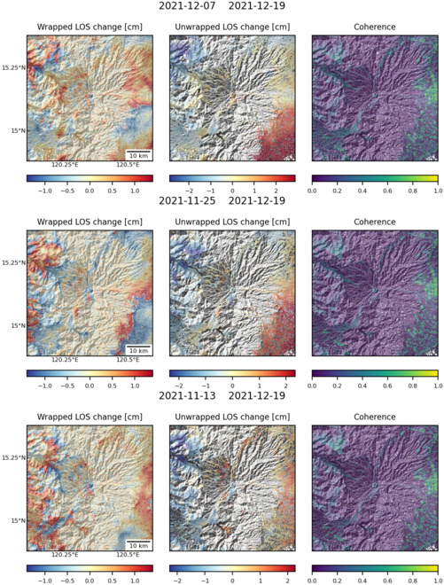
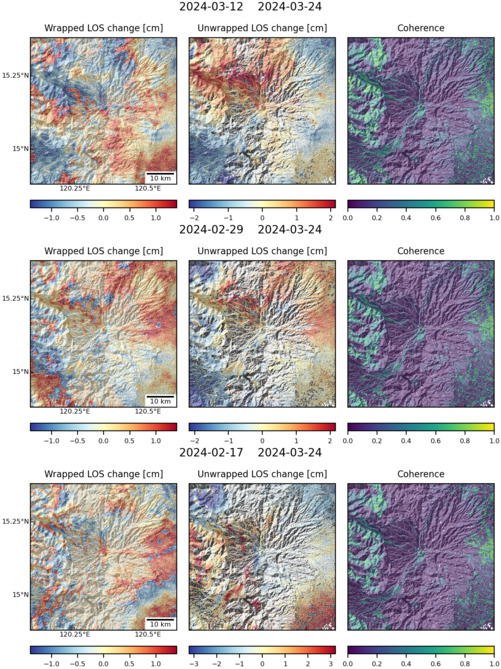
Latest Sentinel-1 Data
Size: 619px x 1050px (290.74 KB)
Size: 501px x 660px (178.77 KB)
Size: 501px x 669px (191.86 KB)