Observations of Deformation
| Volcano number: | 261020 |
|---|---|
| Region: | Indonesia |
| Country: | Sumatra |
| Geodetic measurements? | Yes |
| Deformation observation? | Yes |
| Measurement method(s): | GPS - continuous, GPS - campaign |
| Duration of observation: | 03/2004-04/2012 |
| Inferred cause(s) of deformation: | Faulting/tectonics |
| Characteristics of deformation: | While no geodetic studies have been performed specifically focusing on Seulawah Agam (most of the existing literature focuses on studies concerning its geothermal source), one regional study (Tabei et al, 2015) notes decaying postseismic deformation in the Aceh region following the major earthquake on 26th December 2004 (the Sumatran-Andaman earthquake, also called the SAE) on the Northern Sumatran Fault. This study used GPS measurements to observe the deformation over a seven year period, between 2004 and 2012. |
| Reference(s): | Tabei, T. et al, 2015. Geodetic and geomorphic evaluations of earthquake generation potential of the Northern Sumatran Fault, Indonesia. International Association of Geodesy Symposia, pp 1-8. DOI: 10.1007/1345_2015_200 |
| Location: | 5.448, 95.658 |
| REST API endpoint (JSON): | https://comet.nerc.ac.uk/wp-json/volcanodb/v1/volcano/3537 |
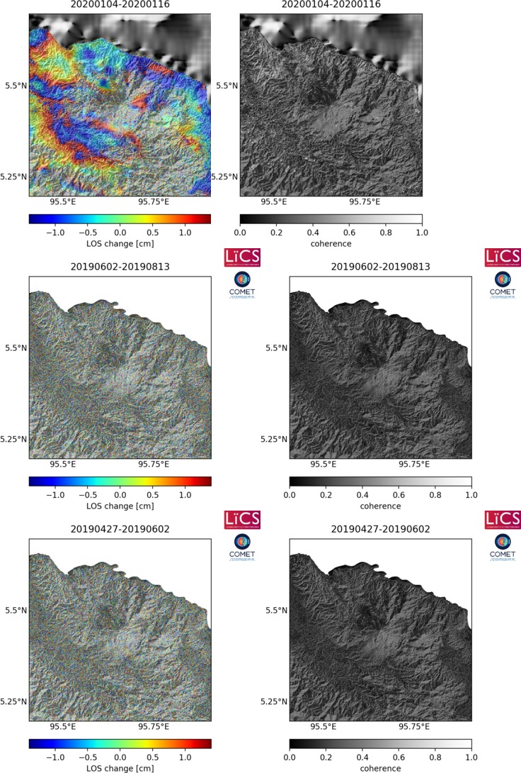
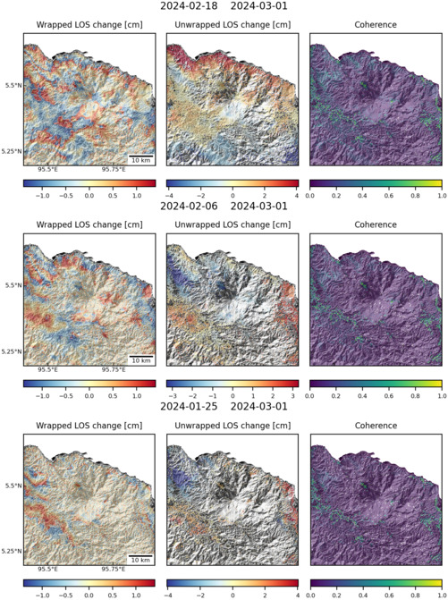
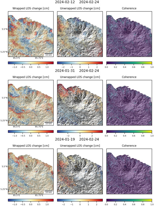
Latest Sentinel-1 Data

Size: 736px x 1090px (259.11 KB)

Size: 501px x 671px (163.04 KB)

Size: 501px x 672px (159.13 KB)
