
Observations of Deformation
| Volcano number: | 261070 |
|---|---|
| Region: | Indonesia |
| Country: | Sumatra |
| Geodetic measurements? | Yes |
| Deformation observation? | Yes |
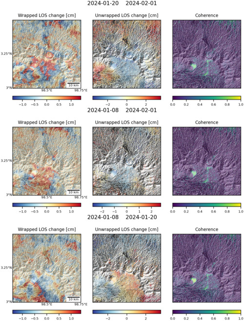
| Measurement method(s): | InSAR |
| Duration of observation: | 02/2007-01/2011; 01/2007-08/2010 |
| Inferred cause(s) of deformation: | Uncertain, Degassing processes (suggested) |
| Characteristics of deformation: | Two separate studies (Chaussard et al, 2013; Gonzalez et al, 2015) have utilised ALOS (Advanced Land Observation Satellite) data to perform InSAR studies on the regions surrounding the Singkut caldera. While neither study was centred on Singkut, focusing instead on the nearby Sinabung and Toba edifices, both noted a small amount of deformation at Sibayak, a stratovolcanic cone of Singkut. |
| Reference(s): | Chaussard, E., Amelung, F. & Aoki, Y. 2013. Characterisation of open and closed volcanic systems in Indonesia and Mexico using InSAR time series. Journal of Geophysical Research: Solid Earth, 118 (8), 3957-3969. DOI: 10.1002/jgrb.50288 |
| Gonzalez, P.J., Singh, K.D. & Tiampo, K.F. 2015. Shallow hydrothermal pressurisation before the 2010 eruption of Mount Sinabung Volcano in Indonesia, observed by use of ALOS satellite radar interferometry. Pure Applied Geophysics, 172, 3229-3245. DOI 10.1007/s00024-014-0915-7 | |
| Location: | 3.248, 98.501 |
| REST API endpoint (JSON): | https://comet.nerc.ac.uk/wp-json/volcanodb/v1/volcano/3554 |
Latest Sentinel-1 Data
Size: 501px x 660px (172.91 KB)

Size: 501px x 660px (168.70 KB)