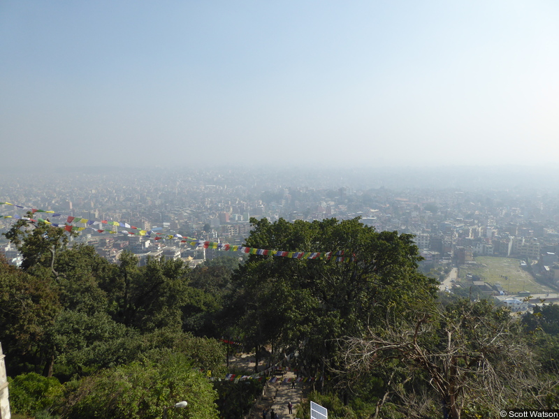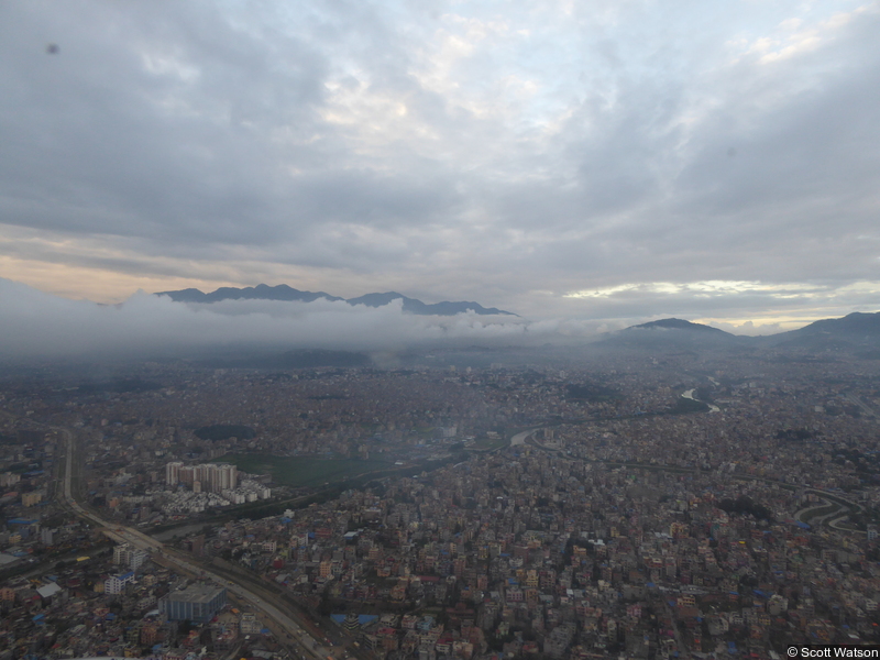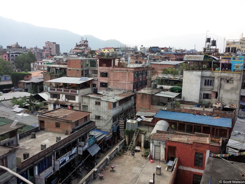

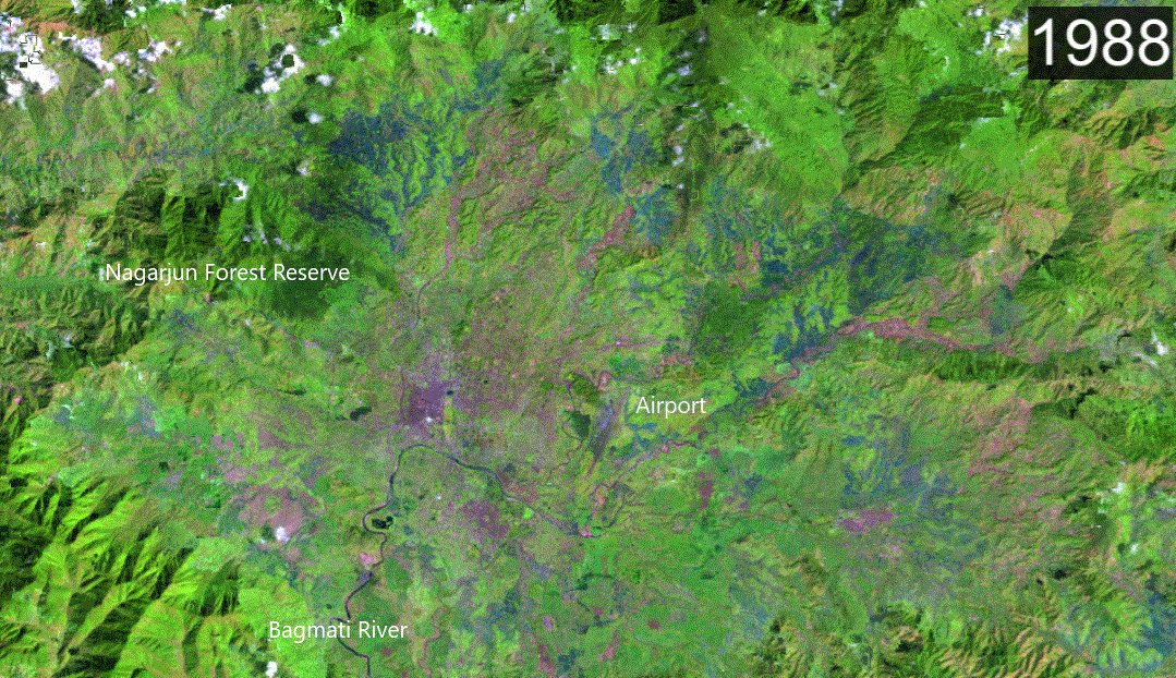
Expansion of Kathmandu 1988-2019 - GIF
This animation uses Landsat imagery processed using LandTrendr (SWIR, nir, red, false colour composite) to show the expansion of Kathmandu
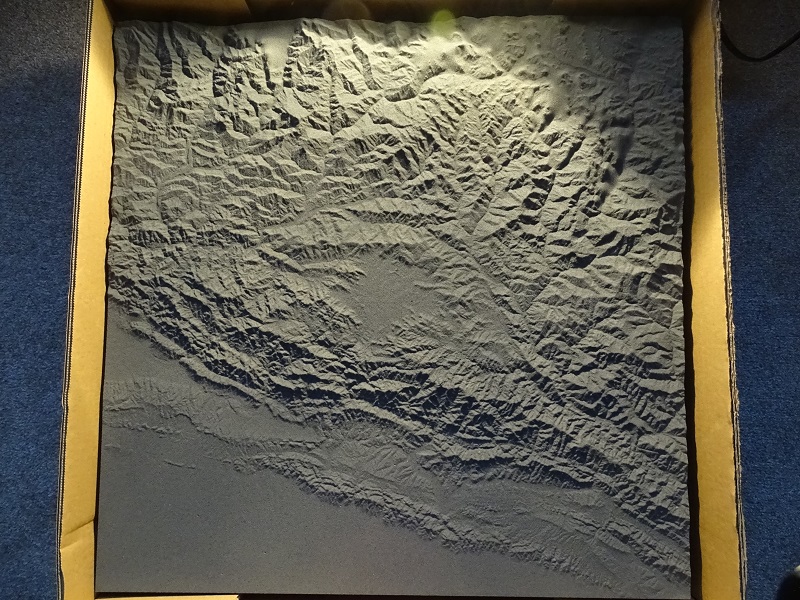
Pleiades DEM and imagery (17 October 2016)
Point cloud, DEM (1 m), hillshade (1 m), panchromatic (0.5 m), multispectral (2 m), and pansharpened multispectral (0.5 m) orthoimages generated from tri-stereo imagery.
HEXAGON DEM and imagery (23 November 1974)
DEM (30 m), and panchromatic (4 m) orthoimage generated from three declassified HEXAGON images. This dataset is still in development.