
Cayambe glacier retreat - interactive 3D visualisation
This 3D visualisation shows Cayambe Volcano and glaciers using a PlanetScope satellite image overlaid on a digital elevation model. Requires a browser with WebGL
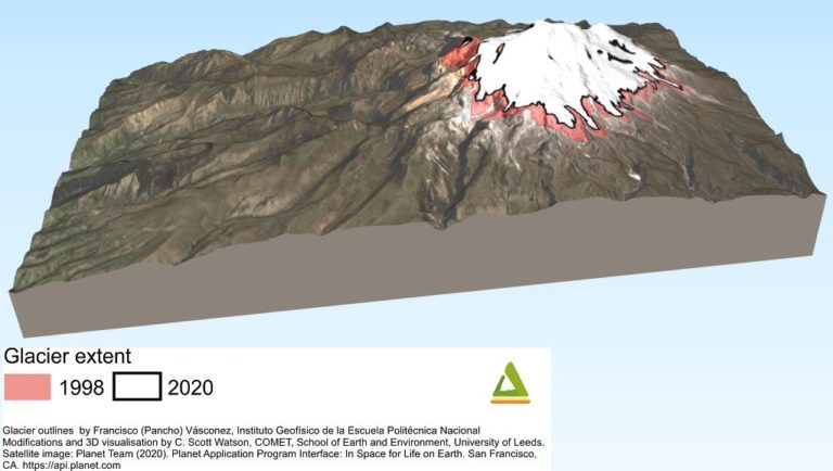
3D visualisation of Cayambe Volcano and ice cap
The graphic shows Cayambe Volcano using a Sentinel-2 satellite image overlaid on a digital elevation model
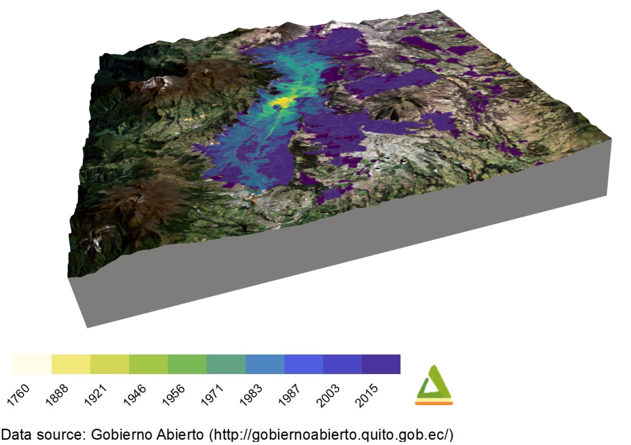
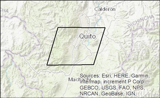
Expansion of Quito (1760-2015) - interactive 3D visualisation
This 3D visualisation shows the expansion of Quito (1760-2015). Requires a browser with WebGL
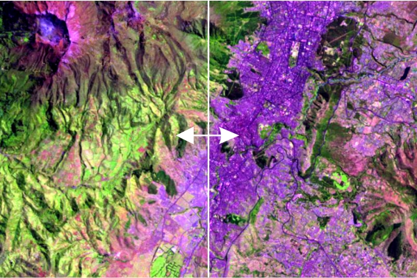
Expansion of Quito 1987-2019 - Interactive
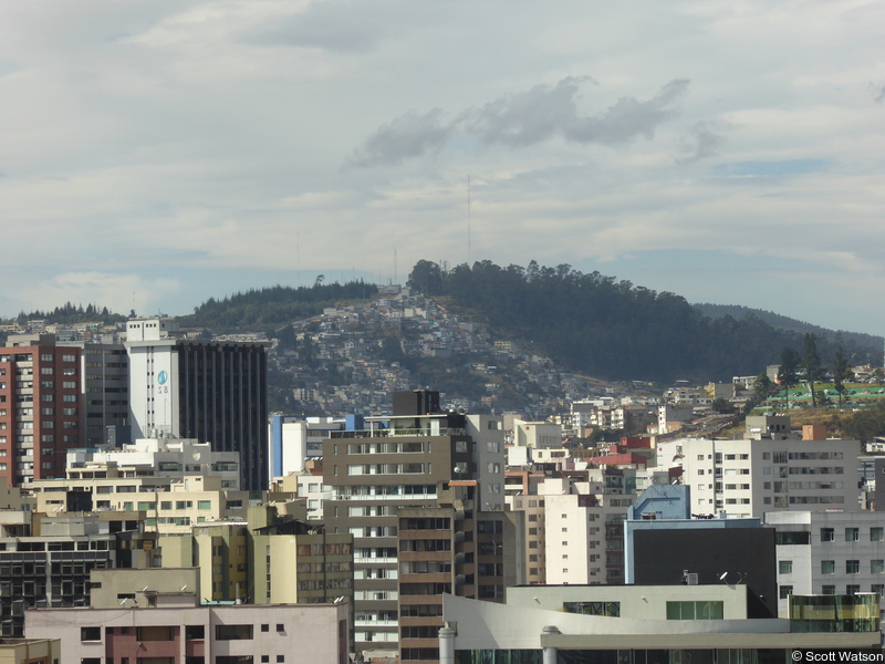
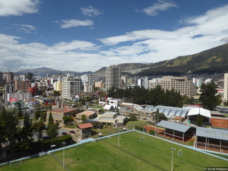
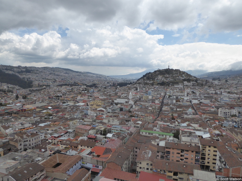
This interactive swipe visualisation uses two false colour satellite images from Landsat to reveal the expansion of Quito. The city has expanded notably to the south and north since east-west expansion is limited by steep topography.

Expansion of Quito 1986-2019 - GIF
This animation uses Landsat imagery processed using LandTrendr (SWIR, nir, red, false colour composite) to show the expansion of Quito.
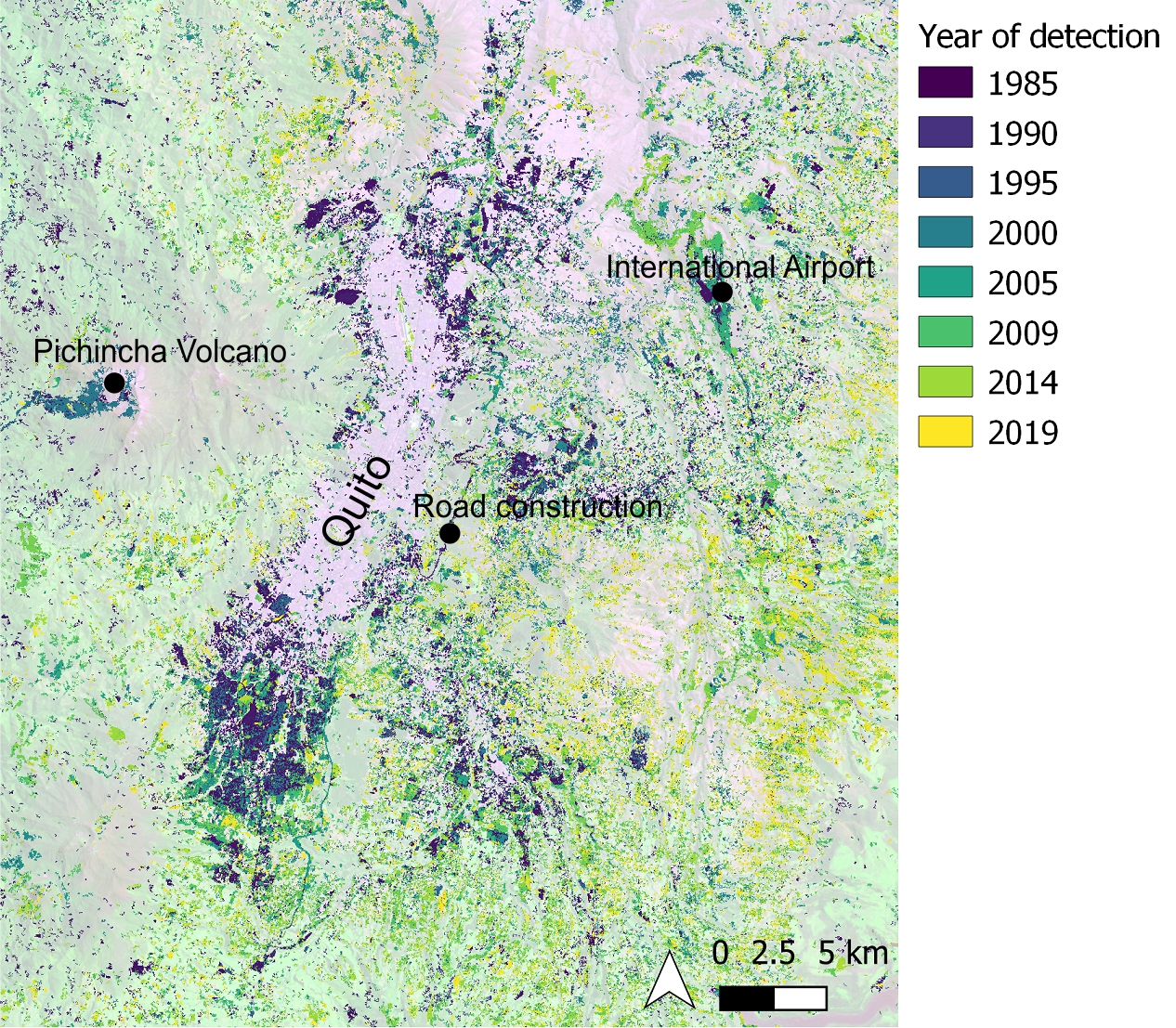
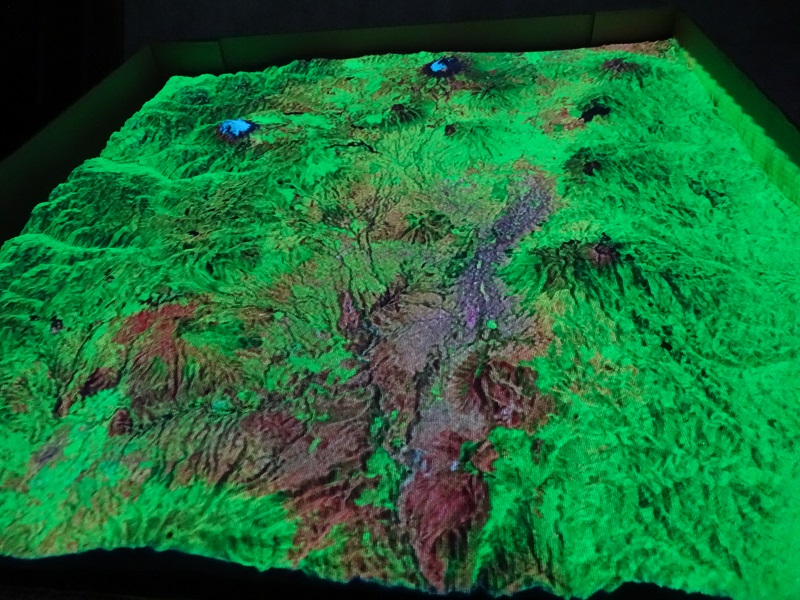
Expansion of Quito 1985-2019 - Image
This image show an analysis of Landsat imagery to detect devegetation trends in Quito that are predominately linked to urban expansion. Devegetation on the slopes of Pichincha Volcano (centre left) is visible following an eruption in 1998.
SPOT-6 DEM and imagery (11 December 2016)
Point cloud, DEM (3 m), hillshade (3 m), panchromatic (1.5 m) and multispectral (6 m) orthoimages generated from stereo imagery.
SPOT-7 DEM and imagery (16 December 2017)
Point cloud, DEM (3 m), hillshade (3 m), panchromatic (1.5 m) and multispectral (6 m) orthoimages generated from stereo imagery.