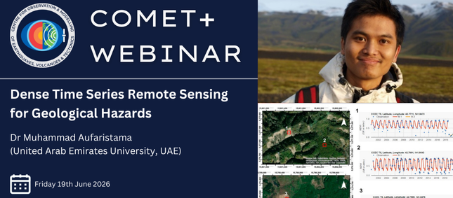
Join us for the next COMET+ webinar
10-06-2026

COMET researcher Tamarah King, based at the University of Oxford, has recently written a blog providing a research update on the COMET Central Asia Fault Database; progress report.
The COMET Central Asia Fault Database integrates decades of fault mapping and field-studies by researchers from the UK NERC Centre for Observation and Modelling of Earthquakes, Volcanoes and Tectonics (COMET), and global collaborators.
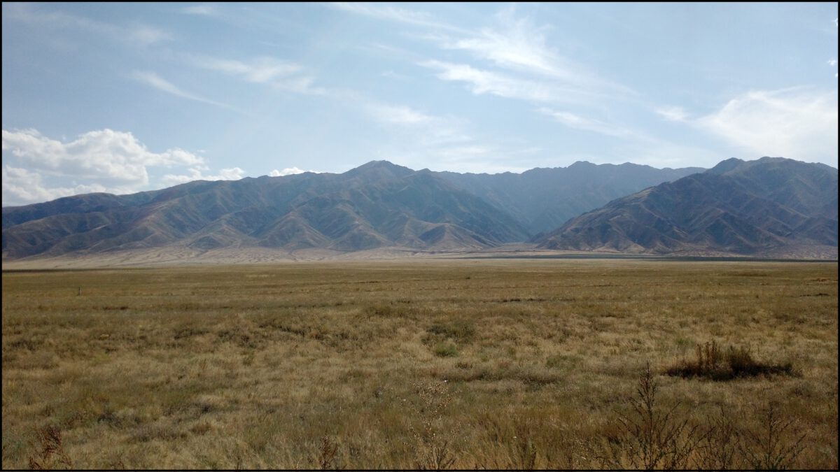
Central Asia is home to one of the world’s great mountain ranges–the Tien Shan–which is formed by vigorous crustal convergence across a multitude of tectonic faults. Here we describe the motivation to assemble the database and the choices that we have made in its structure, which are based on utility, necessity, and limitations in available information. We are working towards a full public release of the dataset, so keep an eye out!
Key points:

Background Motivation
COMET researchers have been investigating active tectonic structures across the Central Asia region since the early 2000s through programs such as Earthquakes without Frontiers and Looking Inside the Continents from Space, along with local partner institutions in the region such as the Kyrgyz Institute of Seismology. Alongside remote mapping, field campaigns with collaborators have produced a large amount of tectonic and earthquake related information. The COMET Central Asia Fault Database assembles these data to produce a cohesive fault database of use to a wide range of geoscientists, as has been done recently across other regions of the planet.

Individual contributors had mapped faults at variable times (~2000 to present), variable resolutions (field-mapping to coarse satellite imagery), and for variable purposes (field site to continental-tectonic scale studies). Rather than reduce this variability to a single representation of the fault network, we produce a database that contains three resolution levels, to increase suitability for various applications.
The blog continues at Blog – Earthquakes in Central Asia.
In the meantime, if you’d like to be involved or would like more information, please get in touch with Tamarah King via [email protected]
10-06-2026
04-06-2026
01-06-2026

The 2024/2025 COMET Annual Report is now available to view online
Click here to read previous annual reports, from 2014-present.