COMET scientists have worked with NASA and developed collaborative relationships in various ways over the last two decades. Examples include:
Scientific Collaborations
- From 2015-2017 collaborative Committee on Earth Observation Satellites (CEOS) pilot project to assess unrest at Chiles-Cerro Negro on the Colombia-Ecuador border included COMET and NASA scientists. More information is available in the following COMET-led paper: Ebmeier, S. K., J. R. Elliott, J. M. Nocquet, J. Biggs, P. Mothes, P. Jarrín, M. Yépez, S. Aguaiza, P. Lundgren, and S. V. Samsonov (2016). Shallow earthquake inhibits unrest near Chiles–Cerro Negro volcanoes, Ecuador–Colombian border. Earth and Planetary Science Letters, 450, 283–291, doi:10.1016/j.epsl.2016.06.046.
Data
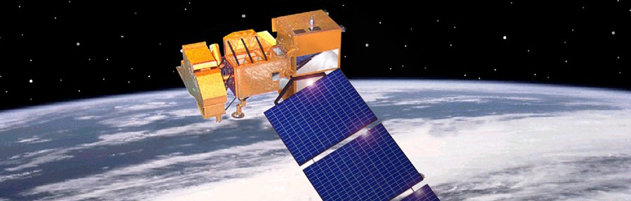
- COMET uses NASA satellite data, including from Landsat, to assess ground deformation and volcanic activity over time. An example of this is Ale Bagu volcano in Ethiopia.
Funded projects
- In 2004, work aimed at mapping surface deformation in three dimensions using InSAR was co-funded by COMET, NASA and USGS: https://agupubs.onlinelibrary.wiley.com/doi/full/10.1029/2003GL018827
Workshops
- The 2018 InSAR Meteorology Workshop in Miami, sponsored by NASA, brought together meteorologists, geodesists and InSAR engineers to explore the potential applications of InSAR to meteorology, focusing on data from Sentinel-1 and NASA’s NISAR mission. COMET Scientist Zhenhong Li presented the COMET Generic Atmospheric Correction Online Service for InSAR (GACOS) to international scientists.
