

COMET Publications Database
All COMET publications 2014-present
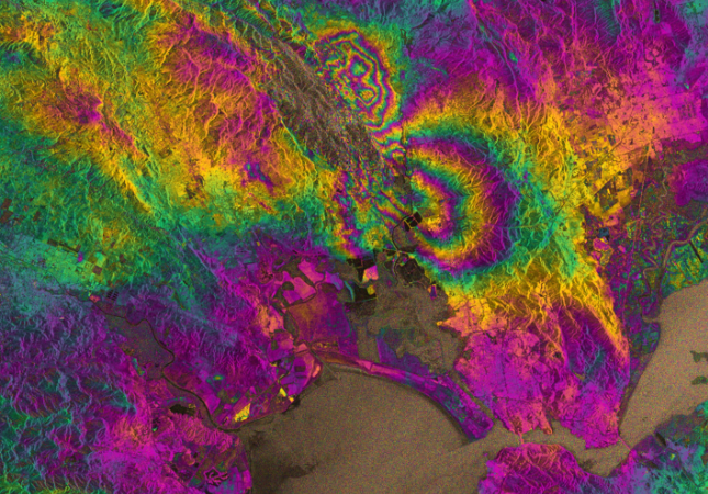
COMET-LiCS Sentinel-1 InSAR portal
All InSAR products available from COMET
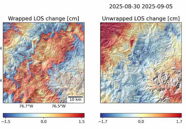
COMET Volcano Deformation Portal
Tools currently available include calculation of displacement timeseries profile plotting and probability maps for volcanic deformation predicted by machine learning methods.
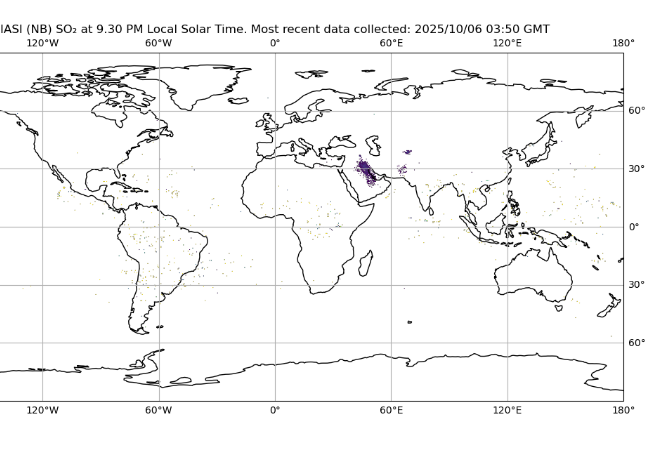
IASI Near Real Time Portal
Infrared Atmospheric Sounding Interferometer (IASI) Data Viewer
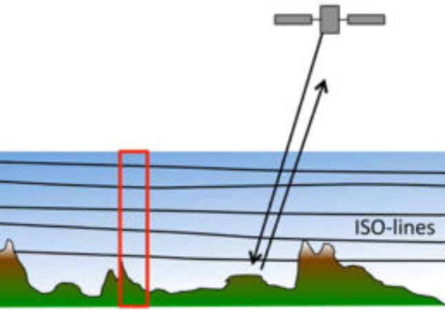
Generic Atmospheric Correction Online Service for InSAR (GACOS)
GACOS utilises the Iterative Tropospheric Decomposition (ITD) model to generate high spatial resolution zenith total delay maps to be used for correcting InSAR measurements and other applications.
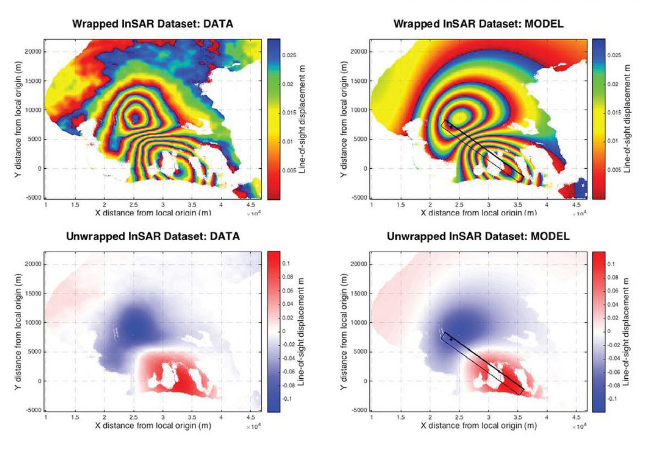
Geodetic Bayesian Inversion Software – GBIS
GBIS allows the user to perform the inversion of InSAR and/or GPS data to estimate deformation source parameters
Global-Waveform-Catalogue (gWFM) Explorer
A database of point-source fault-plane solutions and focal depths for moderate-magnitude earthquakes, modelled by an analyst using synthetic seismograms.

TRAIN – Toolbox for Reducing Atmospheric InSAR Noise
A set of MATLAB tools that can be use to correct for tropospheric delays in InSAR data.
Topographic Datasets
All COMET topographic datasets for download
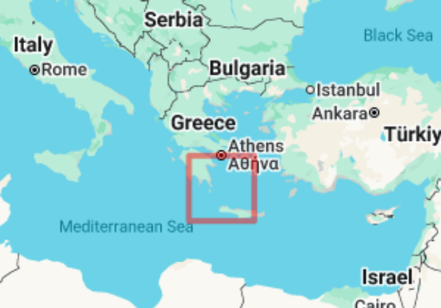
Continuous GPS measurements from the Aegean 2002-2008
Continuous GPS measurements between 2002 and 2008 were made by COMET at a number of stations across the Aegean to monitor tectonic movement across the Eastern Mediterranean
Malawi Fault & Seismic Source Databases
A geospatial database that documents the geometry, slip rate and seismogenic properties (ie earthquake magnitude and frequency) of active faults in Malawi.
Tien Shan Active Fault Database
A multi-functional digital collection of active faults which integrates decades of mapping and field studies in Central Asia by COMET researchers alongside global collaborators.