Observations of Deformation
| Volcano number: | 343041 |
|---|---|
| Region: | Mexico and Central America |
| Country: | El Salvador |
| Geodetic measurements? | Yes |
| Deformation observation? | Yes |
| Measurement method(s): | InSAR, GPS - campaign |
| Duration of observation: | 2007-2010 (InSAR), 2009 (campaign GPS) |
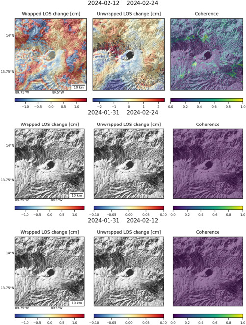
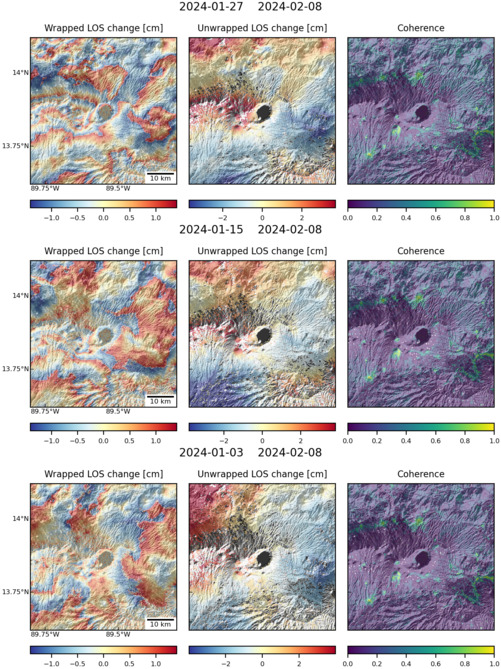
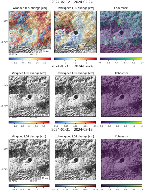
| Characteristics of deformation: | No deformation was detected at the Coatepeque Caldera (detection threshold 6.1 cm/yr) during an ALOS survey of Central American volcanoes (Ebmeier et al., 2013). |
| Reference(s): | Ebmeier, S. K., J. Biggs, T. A. Mather, and F. Amelung (2013), On the lack of InSAR observations of magmatic deformation at Central American volcanoes, J. Geophys. Res. Solid Earth, 118, 2571–2585, doi:10.1002/jgrb.50195. |
| Lechner, H. N. (2010), Differential GPS as a monitoring tool on Volcano Santa Ana (Ilamatepec) and the Coatepeque Caldera, El Salvador, MSci. Thesis, Michigan Technological Univeristy. Accessed online at http://www.geo.mtu.edu/rs4hazards/Project%20resources/theses/lechner_thesis.pdf on 22/07/15 | |
| Location: | 13.87, -89.55 |
| REST API endpoint (JSON): | https://comet.nerc.ac.uk/wp-json/volcanodb/v1/volcano/4389 |
Latest Sentinel-1 Data

Size: 501px x 669px (186.15 KB)

Size: 501px x 668px (187.36 KB)

Size: 501px x 668px (188.15 KB)

Size: 501px x 669px (180.13 KB)
