Observations of Deformation
| Volcano number: | 313020 |
|---|---|
| Region: | Alaska |
| Country: | United States |
| Geodetic measurements? | Yes |
| Deformation observation? | No |
| Measurement method(s): | InSAR |
| Duration of observation: | 1995 - 2010 |
| Inferred cause(s) of deformation: | Magmatic |
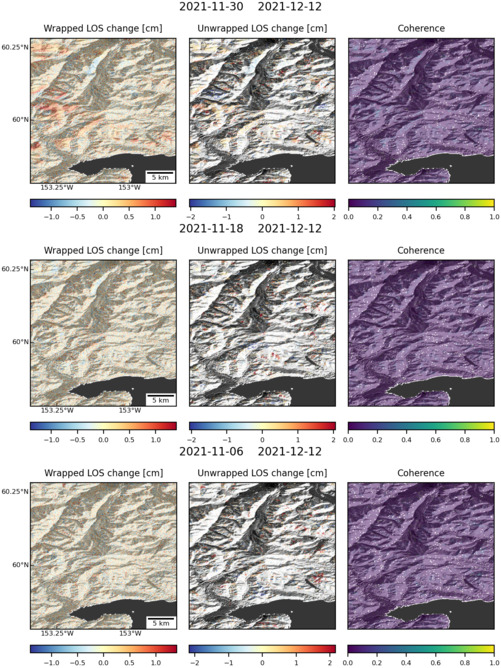
| Characteristics of deformation: | Between 1995 – 2000, interferograms show a deformation signal near Iliamna, much of which seems to have occurred during 1996–1997 when a seismic swarm was recorded at the volcano. This seismic swarm has been attributed to a possible dike intrusion. Modelling the InSAR observations for a rectangular dike source yields a best-fit model that is a NW–SE-striking subvertical dike 7 9 8 km in dimension and centered at ~8 km depth. After this time interferograms show no evidence of deformation. |
| Reference(s): | Lu, Z., and Dzurisin, D., 2014, InSAR imaging of Aleutian volcanoes: Chichester, UK, Springer-Praxis, 390 p. |
| U.S. Geological Survey Alaska Volcano Observatory (AVO) website http://www.avo.alaska.edu/volcanoes/volcinfo.php?volcname=Iliamna | |
| Location: | 60.032, -153.09 |
| REST API endpoint (JSON): | https://comet.nerc.ac.uk/wp-json/volcanodb/v1/volcano/5202 |
Latest Sentinel-1 Data

Size: 501px x 668px (172.74 KB)
