
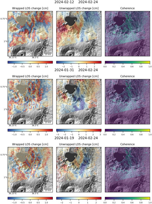
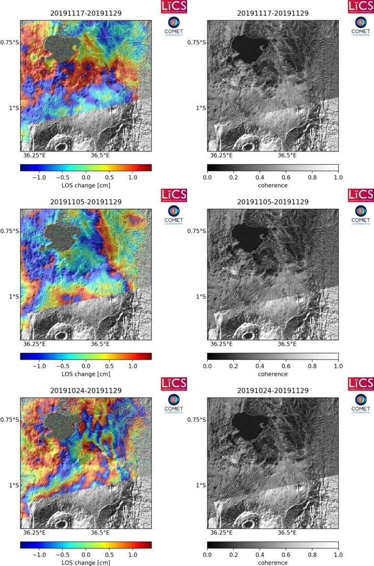
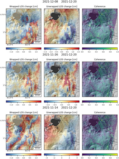
Observations of Deformation
| Volcano number: | 222100 |
|---|---|
| Region: | Africa and Red Sea |
| Country: | Kenya |
| Geodetic measurements? | Yes |
| Deformation observation? | Yes |
| Measurement method(s): | InSAR |
| Duration of observation: | 2004 - 2010 |
| Inferred cause(s) of deformation: | Hydrothermal, Magmatic |
| Characteristics of deformation: | Two phases of deformation are observed at Longonot volcano between 2004 and 2010 (Robertson, 2015; Biggs et al 2009). |
| Reference(s): | Biggs, J., Anthony, E. Y., & Ebinger, C. J. (2009). Multiple inflation and deflation events at Kenyan volcanoes, East African Rift. Geology, 37(11), 979-982. |
| Robertson, E. 2015. Magma storage and transport at Kenyan Rift volcanoes: a remote sensing perspective. Chapter 2. Ph.D Thesis, University of Bristol, UK. | |
| Smithsonian Institution Global Volcanism Program http://volcano.si.edu/volcano.cfm?vn=222100 | |
| Location: | -0.914, 36.446 |
| REST API endpoint (JSON): | https://comet.nerc.ac.uk/wp-json/volcanodb/v1/volcano/3208 |
Latest Sentinel-1 Data
Size: 501px x 672px (166.68 KB)
Size: 734px x 1110px (289.89 KB)
Size: 501px x 672px (168.73 KB)