Observations of Deformation
| Volcano number: | 352010 |
|---|---|
| Region: | South America |
| Country: | Ecuador |
| Geodetic measurements? | Yes |
| Deformation observation? | Yes |
| Measurement method(s): | InSAR |
| Duration of observation: | 2002-2004 (Envisat InSAR), 2007-2009 (ALOS InSAR) |
| Inferred cause(s) of deformation: | Surface deposits |
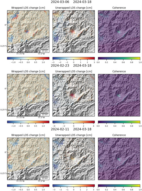
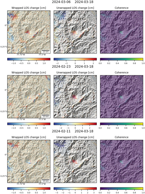
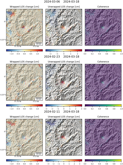
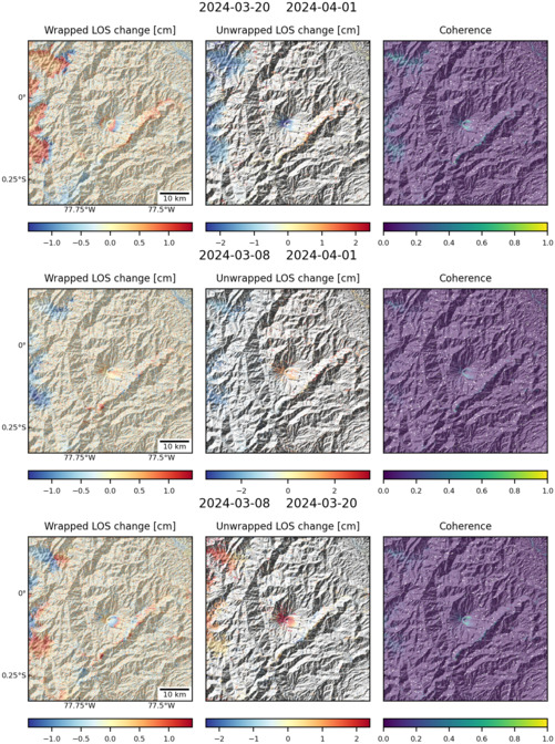
| Characteristics of deformation: | Following the largest historical eruption of Reventador in 2002, Envisat InSAR between 2004 and 2005 found deformation near the cone, which was attributed to subsidence of lava flows extruded between 2002 and 2004 (Bonvalot et al., 2005). |
| Reference(s): | Bonvalot, S., Froger, J.L., Rémy, D., Bataille, K., Cayol, V., Clavero, J., Comte, D., Gabalda, G., Gonzales, K., Lara, L. and Legrand, D., 2005. Application of INSAR interferometry and geodetic surveys for monitoring Andean volcanic activity: First results from ASAR-ENVISAT data. In 6th International Symposium on Andean Geodynamics, Inst. de Rech. pour le Dev., Barcelona, Spain. Available online at https://www.researchgate.net/profile/Denis_Legrand/publication/32967396_Application_of_INSAR_interferometry_and_geodetic_surveys_for_monitoring_andean_volcanic_activity__first_results_from_ASAR-ENVISAT_data/links/02bfe50ede2f3211c9000000.pdf |
| Naranjo, M., S. K. Ebmeier, S. Vallejo, P. Ramon, F. Herrera, P. Mothes, 2015, Topographic change at Reventador Volcano, Ecuador, 2000-2010: Comparison of field and satellite radar measurement; presentation, 26th IUGG General Assembly, 22 June - 2 July, 2015, Prague, Czech Republic. Abstract available online at http://www.igepn.edu.ec/publicaciones-vulcanologia/congresos/13141-topographic-change-at-reventador-volcano-ecuador-2000-2010-comparison-of-field-and-satellite-radar-measurement/file | |
| Location: | -0.077, -77.656 |
| REST API endpoint (JSON): | https://comet.nerc.ac.uk/wp-json/volcanodb/v1/volcano/3501 |
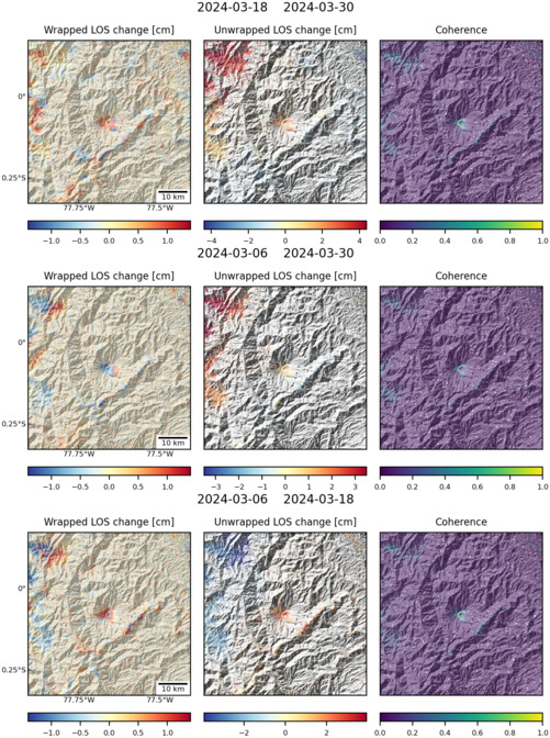
Latest Sentinel-1 Data
Size: 501px x 672px (176.07 KB)
Size: 501px x 672px (181.00 KB)

Size: 501px x 672px (176.11 KB)
Size: 501px x 672px (181.15 KB)
Size: 501px x 672px (180.13 KB)
Size: 501px x 672px (181.26 KB)
