
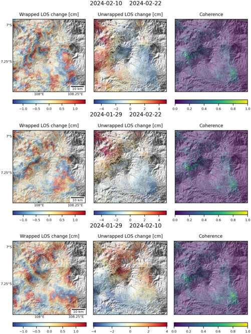
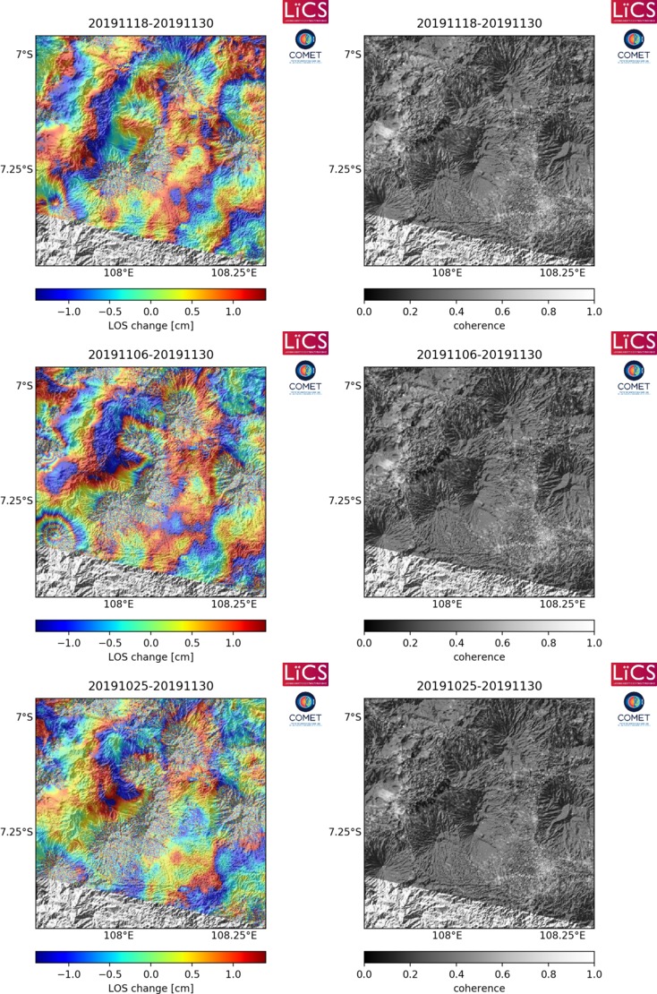
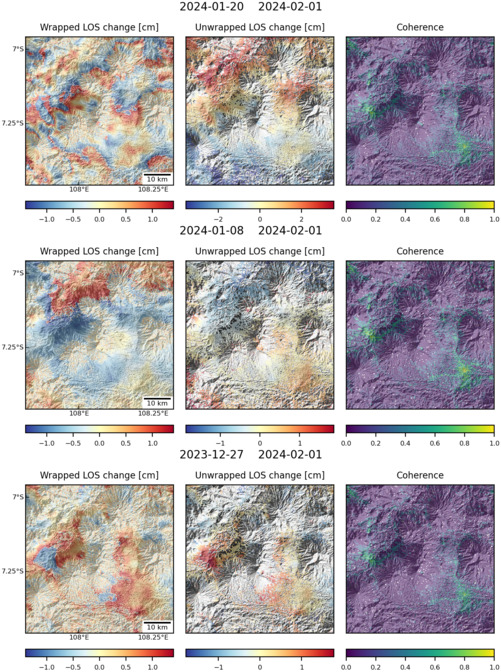
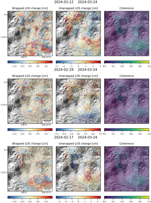
Observations of Deformation
| Volcano number: | 263150 |
|---|---|
| Region: | Indonesia |
| Country: | Java |
| Geodetic measurements? | Yes |
| Deformation observation? | No |
| Measurement method(s): | EDM, Terrestrial laser scanner |
| Duration of observation: | 08/2012-03/2015 |
| Inferred cause(s) of deformation: | ArrayNatural erosion |
| Characteristics of deformation: | A recent (2016) study by Gumilar et al made use of relatively new terrestrial laser scanner (TLS) methods to measure deformation around the Talagabodas crater between August 2012 and March 2015. The results of this survey showed no significant or coherent deformation during that time period; the maximum level of uplift, measured to the west of the crater, was approximately 5.1cm, and the maximum amount of subsidence was roughly 6.4cm, at the southern edge of the crater. The authors attribute these changes to natural erosion and fumarole activity. |
| Reference(s): | Gumilar, I. et al. 2016. On the Use of Terrestrial Laser Scanner for Deformation Analysis of the Talaga Bodas Crater West Java (Indonesia). AIP Conference Proceedings, 1730, 050001 |
| Location: | -7.208, 108.07 |
| REST API endpoint (JSON): | https://comet.nerc.ac.uk/wp-json/volcanodb/v1/volcano/3995 |
Latest Sentinel-1 Data
Size: 501px x 667px (177.64 KB)
Size: 734px x 1110px (301.03 KB)
Size: 501px x 672px (181.97 KB)
Size: 501px x 672px (180.47 KB)