Observations of Deformation
| Volcano number: | 311340 |
|---|---|
| Region: | Alaska |
| Country: | United States |
| Geodetic measurements? | Yes |
| Deformation observation? | Yes |
| Measurement method(s): | InSAR, GPS - campaign |
| Duration of observation: | 1991 - 2000, 2003 - 2010 |
| Inferred cause(s) of deformation: | Magmatic |
| Characteristics of deformation: | During the 1991 – 1992 eruption of Westdahl, interferograms spanning 21 – 30 November 1991 indicate ~6 cm of subsidence attributed to magma withdrawl from a shallow reservoir. This is modelled as a point source with volume decrease of 0.03 ± 0.01 km³ at 5 – 7 km depth beneath the summit area. |
| Reference(s): | Lu, Zhong, Wicks, Charles, Dzurisin, Daniel, Thatcher, Wayne, Freymueller, J. T., McNutt, S. R., and Mann, Dorte, 2000, Aseismic inflation of Westdahl volcano, Alaska, revealed by satellite radar interferometry: Geophysical Research Letters, v. 27, n. 11, p. 1567-1570. |
| Lu, Z., Masterlark, T., Dzurisin, D., Rykhus, R., & Wicks, C. 2003, Magma supply dynamics at Westdahl volcano, Alaska, modeled from satellite radar interferometry. Journal of Geophysical Research: Solid Earth (1978–2012), 108(B7). | |
| Mann, Dorte, and Freymueller, J., 2003, Volcanic and tectonic deformation on Unimak Island in the Aleutian Arc, Alaska: Journal of Geophysical Research, v. 108, n. 2, p. 1-12. | |
| U.S. Geological Survey Alaska Volcano Observatory (AVO) website http://www.avo.alaska.edu/volcanoes/volcinfo.php?volcname=Westdahl | |
| Lu, Z., and Dzurisin, D., 2014, InSAR imaging of Aleutian volcanoes: Chichester, UK, Springer-Praxis, 390 p. | |
| Location: | 54.518, -164.65 |
| REST API endpoint (JSON): | https://comet.nerc.ac.uk/wp-json/volcanodb/v1/volcano/5212 |
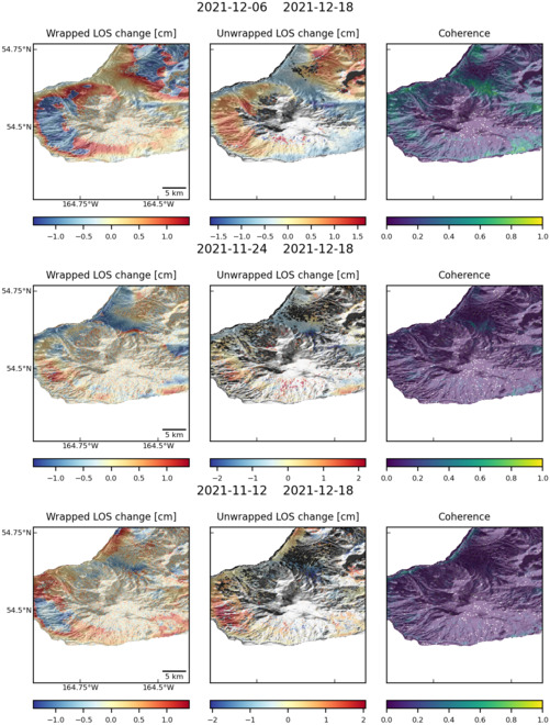
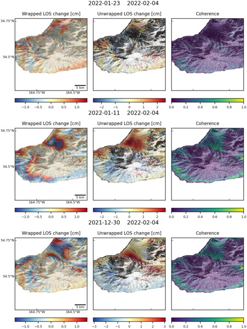
Latest Sentinel-1 Data

Size: 501px x 669px (135.66 KB)

Size: 501px x 660px (130.94 KB)

Size: 501px x 669px (137.13 KB)
