Observations of Deformation
| Volcano number: | 232010 |
|---|---|
| Region: | Middle East and Indian Ocean |
| Country: | Iran |
| Geodetic measurements? | Yes |
| Deformation observation? | Yes |
| Measurement method(s): | InSAR, GPS - continuous |
| Duration of observation: | 2003 to 2010 |
| Inferred cause(s) of deformation: | Surface deposits |
| Characteristics of deformation: | Shirzaei et al. (2011) present Envisat radar InSAR images from 2003 through to 2008. The authors show “a lateral extension of the volcano at the relative rate of as much as ∼6 mm/yr accompanied by subsidence at the rate of as much as ∼5 mm/yr at the volcano summit. We find that lateral motion of the east flank is more significant than that of the west flank”. |
| Reference(s): | Shirzaei, M. (2012) A satellite geodetic survey of spatiotemporal deformation of Iranian volcanoes (abstract EGU2012-13789-3), EGU General Assembly. |
| Shirzaei, M., Walter, T. R., Nankali, H. R., & Holohan, E. P. (2011). Gravity-driven deformation of Damavand volcano, Iran, detected through InSAR time series. Geology, 39(3), 251-254. | |
| Smithsonian Institution Global Volcanism Program http://www.volcano.si.edu/volcano.cfm?vn=232010 | |
| Yazdanparast, M., & Vosooghi, B. (2014). A research on Damavand magma source model using GPS data. Geomatics, Natural Hazards and Risk, 5(1), 26-40. | |
| Location: | 35.951, 52.109 |
| REST API endpoint (JSON): | https://comet.nerc.ac.uk/wp-json/volcanodb/v1/volcano/2144 |
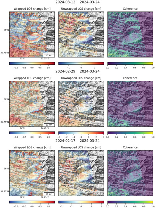
Latest Sentinel-1 Data
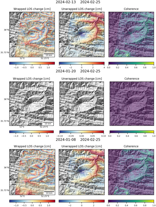
Size: 501px x 669px (178.36 KB)
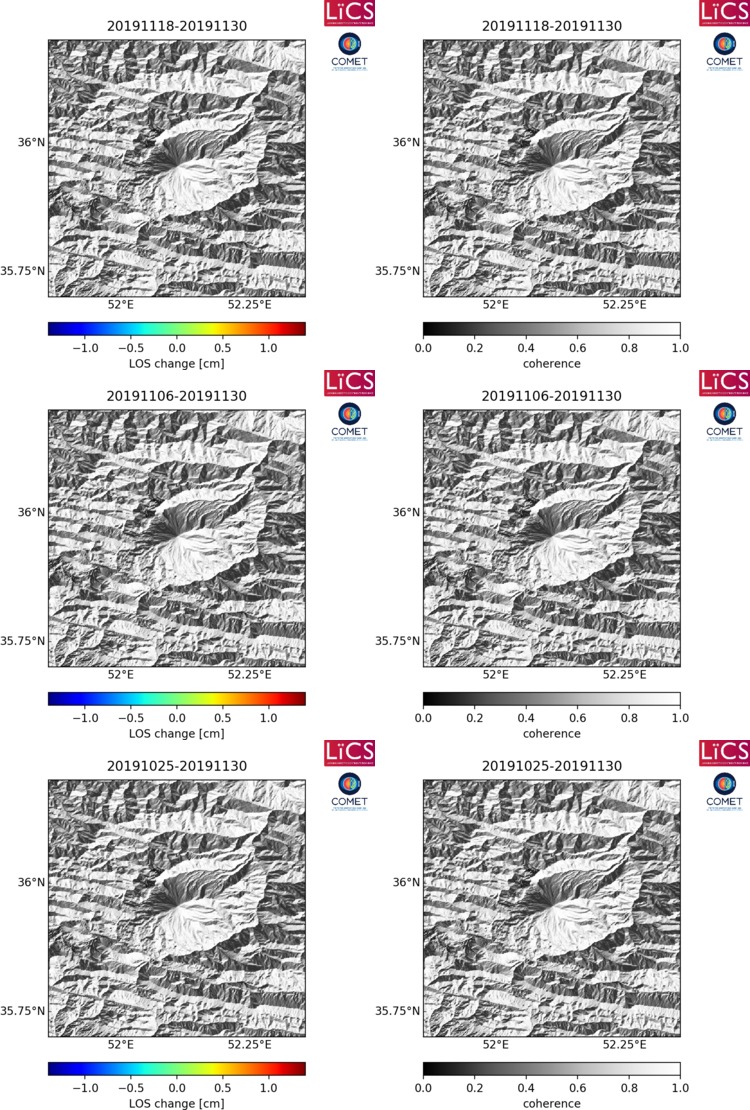
Size: 750px x 1110px (295.72 KB)
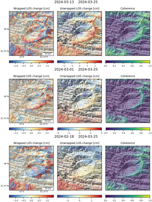
Size: 501px x 669px (179.17 KB)
Size: 501px x 669px (178.71 KB)

Size: 501px x 669px (186.25 KB)