Observations of Deformation
| Volcano number: | 372020 |
|---|---|
| Region: | Iceland and Arctic Ocean |
| Country: | Iceland |
| Geodetic measurements? | Yes |
| Deformation observation? | Yes |
| Measurement method(s): | InSAR, GPS - continuous, Tiltmeter |
| Duration of observation: | Continuous |
| Inferred cause(s) of deformation: | Magmatic |
| Characteristics of deformation: | Intrusions beneath the flanks of Eyjafjallajökull occurred in 1994 and July-December 1999 and were accompanied by increased seismic activity and was constrained by tilt measurements, GPS-geodesy and InSAR. |
| Reference(s): | Smithsonian Institution Global Volcanism Program http://www.volcano.si.edu/volcano.cfm?vn=372020 |
| Sigmundsson F. et al. Intrusion triggering of the 2010 Eyjafjallajokull explosive eruption. Nature 468, 426–430 (2010) | |
| Pedersen R. & Sigmundsson F. Temporal development of the 1999 intrusive episode in the Eyjafjallajökull volcano, Iceland, derived from InSAR images. B. Volcanol. 68, 377–393 (2006) | |
| Parks, M., Dumont, S., Drouin, V., Sigmundsson, F., Hreinsdottir, S., Michalczewska, K., ... & Heimisson, E. R. (2014, December). Long-Term Geodetic Measurements at the Most Active Volcanoes in Iceland: Role of Interferometric Synthetic Aperture Radar and GPS in Hazard Monitoring at Hekla, Katla, Eyjafjallajökull and Askja Volcanoes. In AGU Fall Meeting Abstracts (Vol. 1, p. 4801). | |
| Location: | 63.63, -19.62 |
| REST API endpoint (JSON): | https://comet.nerc.ac.uk/wp-json/volcanodb/v1/volcano/2997 |
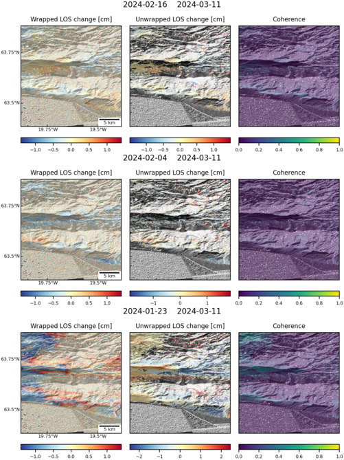
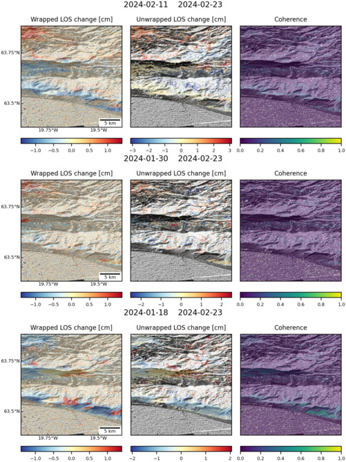
Latest Sentinel-1 Data

Size: 619px x 1050px (194.77 KB)

Size: 501px x 668px (145.93 KB)
Size: 501px x 660px (52.20 KB)

Size: 501px x 669px (141.18 KB)
Size: 501px x 668px (171.60 KB)
Size: 501px x 660px (84.39 KB)
Size: 501px x 669px (74.63 KB)
Size: 501px x 669px (171.66 KB)
Size: 501px x 669px (174.03 KB)
