Hengill

Observations of Deformation

Volcano number:371050
Region:
Country:Iceland
Geodetic measurements?Yes
Deformation observation?Yes
Measurement method(s):InSAR, GPS - continuous
Duration of observation:Continuous
Inferred cause(s) of deformation:Magmatic, Faulting/tectonics
Characteristics of deformation:

Summary based on Clifton et al. (2002):
The Hengill, Hrómundartindur and Grensdalur volcanic systems are located at the Hengill triple junction at which the oblique Reykjanes Peninsula (rift) zone. A period of markedly enhanced seismicity began in the area in July 1994 and continued through 1998, with more than 80 000 small earthquakes occurring. Seismicity increased in 1995, decreased in 1996 and then increased significantly in 1997 and 1998.
“The 1994–1998 seismic period was associated with widespread crustal uplift. Sparse leveling data covering the period from 1986 to 1995 and GPS data from 1991 to 1994 show surface deformation consistent with a Mogi point source of pressure at about 6.5 km depth, interpreted to reflect magma accumulation centered under the Hrómundartindur volcanic system (Sigmundsson et al., 1997). A continuous GPS network established in the area between March and May, 1999 has detected no significant uplift (0±5 mm/yr), and only 2 mm eastward motion in the 12 months since measurements began (Árnadóttir et al., 2000)”.
Feigl et al. (2000) used InSAR over the period 1993 to 1998 and showed that the deformation signal was a concentric pattern of fringes with a relatively constant 19±2 mm/yr rate of uplift around a point source of magma accumulation on the northwestern edge of the Grensdalur volcanic system, at about 7 km depth. The authors show that  the location of the uplift center had been stable for the 5-yr period.
The Icelandic Meteorological Office (IMO) leads long-term monitoring of geohazards in Iceland and is responsible for maintaining instrument networks for this purpose. FutureVolc detail a description of in-situ monitoring networks in Iceland and available results. In-situ instrumentation to monitor geological hazards in Iceland includes seismic, GPS, strain, hydrological, radar, infrasound networks, and scanning DOAS spectrometers. With InSAR, the volcanoes in Iceland are not covered by a single systematic study but 85% of them have been included in separate studies of volcanic, seismic, cryospheric or geothermal processes (Biggs et al., 2014).

Reference(s):Smithsonian Institution Global Volcanism Program
http://www.volcano.si.edu/volcano.cfm?vn=371050
Clifton, A., F. Sigmundsson, K. Feigl, G. Gunnarsson, Th. Árnadóttir, Surface effects of faulting and deformation resulting from magma accumulation at the Hengill triple junction, SW Iceland, 1994-1998, J. Volc. Geotherm. Res., 115, 233-255, 2002.
Sturkell, E., Einarsson, P., Sigmundsson, F., Geirsson, H., Olafsson, H., Pedersen, R., ... & Stefánsson, R. (2006). Volcano geodesy and magma dynamics in Iceland. Journal of Volcanology and Geothermal Research, 150(1), 14-34.
The Icelandic Meteorological Office (IMO)
Location:64.08, -21.32
REST API endpoint (JSON):https://comet.nerc.ac.uk/wp-json/volcanodb/v1/volcano/5395

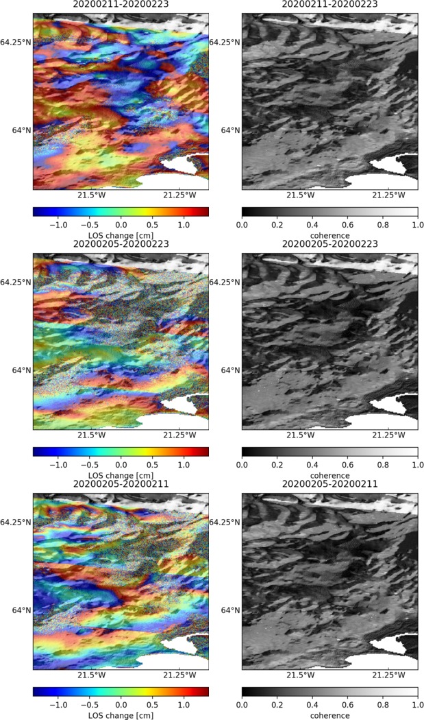
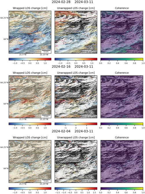
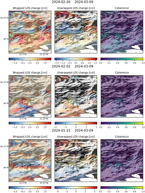
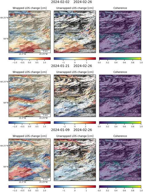
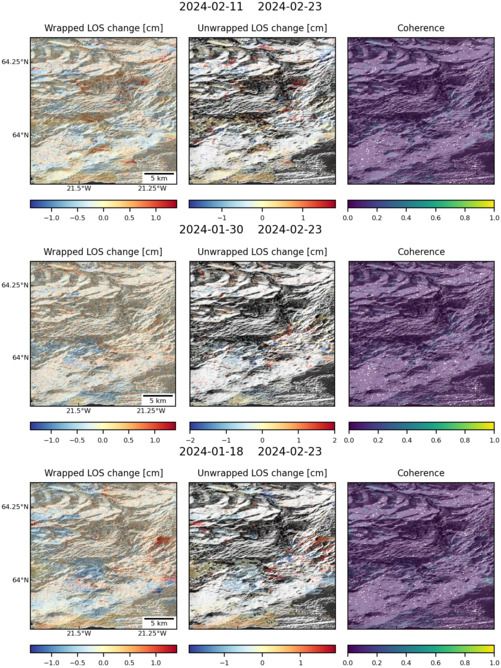
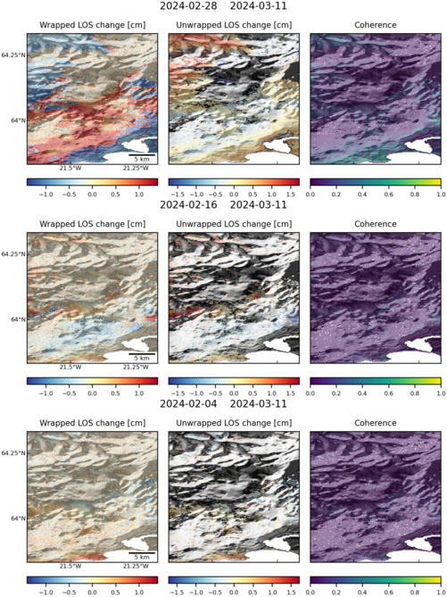
Latest Sentinel-1 Data

Filename: hengill_155D_02611_050400.jpg
Size: 619px x 1050px (232.48 KB)
Filename: hengill_016A_02504_162118.jpg
Size: 501px x 669px (175.49 KB)
Filename: hengill_155D_02579_100800.jpg
Size: 501px x 669px (163.57 KB)
Filename: hengill_155D_02484_191814.jpg
Size: 501px x 669px (178.29 KB)
Filename: hengill_118A_02507_211817.jpg
Size: 501px x 668px (178.19 KB)
Filename: hengill_016A_02563_081313.jpg
Size: 619px x 1050px (228.44 KB)
Filename: hengill_016A_02562_091313.jpg
Size: 501px x 669px (170.49 KB)