
Observations of Deformation
| Volcano number: | 262000 |
|---|---|
| Region: | Indonesia |
| Country: | Krakatau |
| Geodetic measurements? | Yes |
| Deformation observation? | Yes |
| Measurement method(s): | InSAR, GPS - continuous |
| Inferred cause(s) of deformation: | Magmatic, Faulting/tectonics |
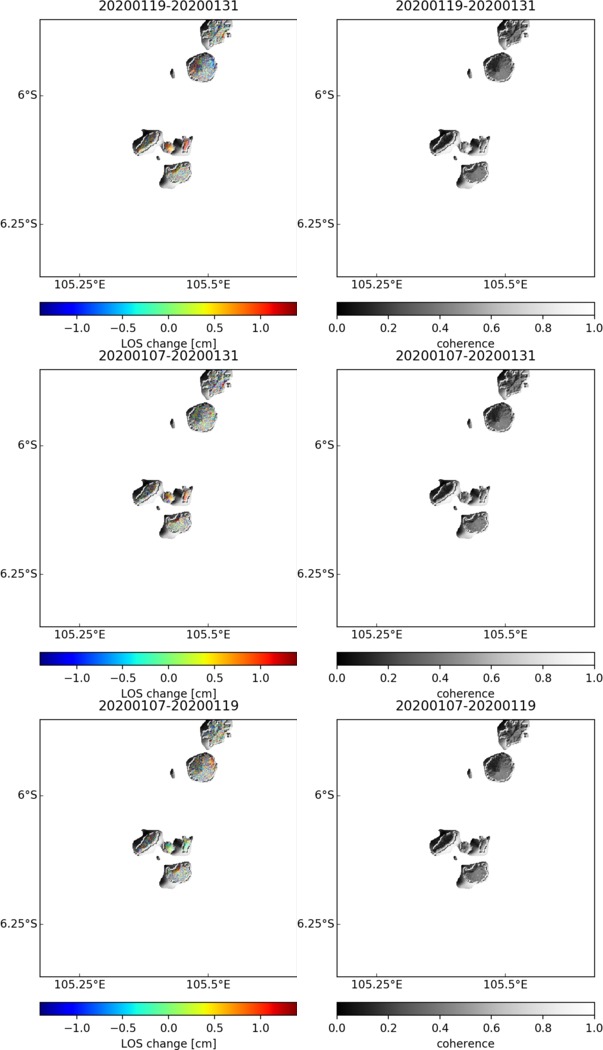
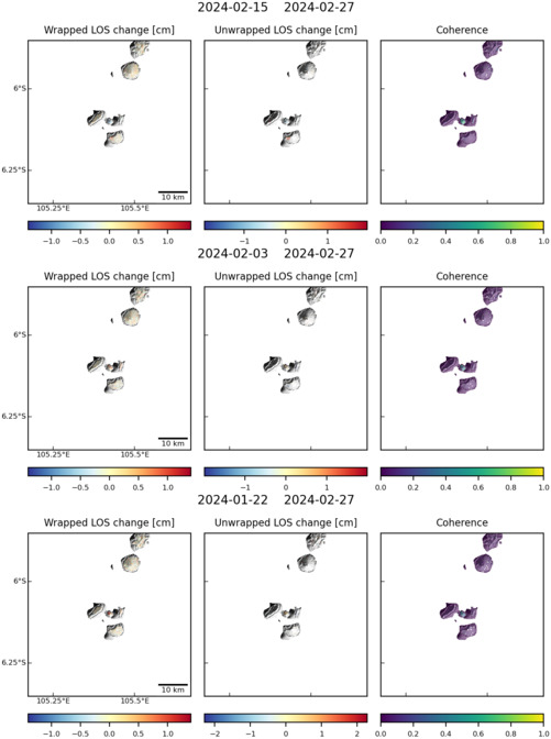
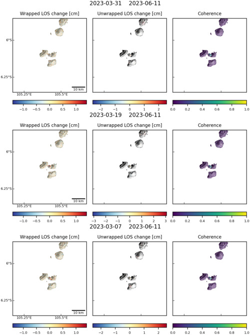
| Characteristics of deformation: | As might be expected from an active volcano of such notoriety, the activity at Krakatau is heavily monitored. A key study of deformation at the volcano was performed by Agustan et al; this study covered a period of almost two years, centred around the eruption which occurred between October 2007 and August 2008. Agustan’s observations utilised PALSAR data from the Japanese ALOS satellite, and uncovered a complex pattern of deformation both prior to and immediately following the eruption. |
| Reference(s): | Agustan et al. 2012. Understanding the 2007–2008 eruption of Anak Krakatau Volcano by combining remote sensing technique and seismic data. International Journal of Applied Earth Observation and Geoinformation, 14 (1), 73-82 |
| Kneiss, R. and von Seht, I. 2007. GPS deformation measurement from the Krakatau volcano (Indonesia). Geophysical Research Abstracts, 9, 10076 | |
| Location: | -6.102, 105.423 |
| REST API endpoint (JSON): | https://comet.nerc.ac.uk/wp-json/volcanodb/v1/volcano/3885 |
Latest Sentinel-1 Data
Size: 603px x 1050px (79.96 KB)
Size: 501px x 672px (57.90 KB)
Size: 501px x 672px (58.45 KB)