Observations of Deformation
| Volcano number: | 323190 |
|---|---|
| Region: | Canada and Western USA |
| Country: | United States |
| Geodetic measurements? | Yes |
| Deformation observation? | No |
| Measurement method(s): | GPS - continuous |
| Duration of observation: | 2000 - present |
| Characteristics of deformation: | There are currently five GPS receivers that make up the continuous deformation monitoring network at Lavic Lake volcanic field. These receivers are part of the 46 instruments that make up the network monitoring Long Valley Caldera. (http://earthquake.usgs.gov/monitoring/gps/LongValley/) Significant uplift at Long Valley was measured in the years 1978-1983, 1990-1995, 1996, and 1997-1998. See Long Valley Caldera for details of deformation observed. |
| Reference(s): | U.S. Geological Survey California Volcano Observatory (CalVO) https://volcanoes.usgs.gov/volcanoes/lavic_lake/lavic_lake_monitoring_21.html |
| Location: | 34.75, -116.625 |
| REST API endpoint (JSON): | https://comet.nerc.ac.uk/wp-json/volcanodb/v1/volcano/5235 |
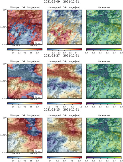
Latest Sentinel-1 Data
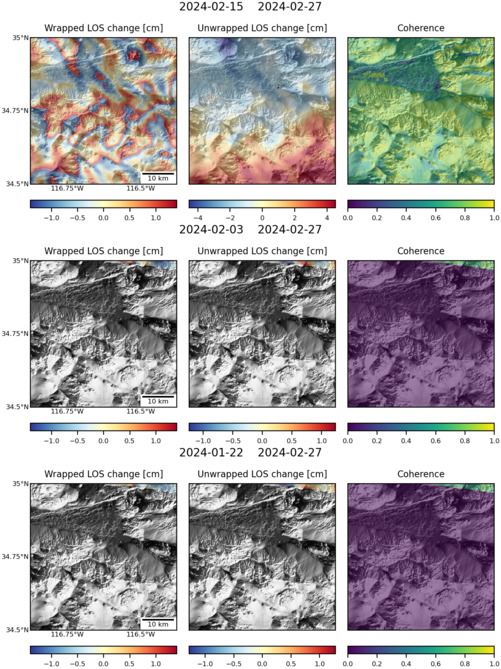
Size: 501px x 669px (162.69 KB)
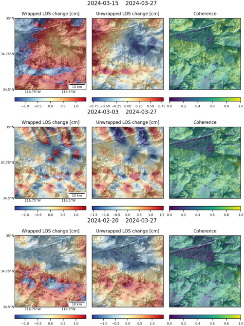
Size: 501px x 669px (168.37 KB)
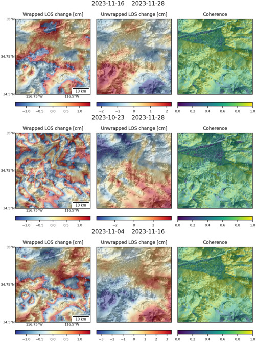
Size: 501px x 669px (165.19 KB)
Size: 501px x 660px (157.40 KB)