Observations of Deformation
| Volcano number: | 342110 |
|---|---|
| Region: | Mexico and Central America |
| Country: | Guatemala |
| Geodetic measurements? | Yes |
| Deformation observation? | Yes |
| Measurement method(s): | InSAR, Levelling |
| Duration of observation: | 1979-1980 (Levelling), 2007-2010 (ALOS InSAR), 2010-2011 (UAVSAR) |
| Inferred cause(s) of deformation: | Magmatic, Surface deposits |
| Characteristics of deformation: | Campaign levelling surveys at Pacaya in 1979 and 1980 recorded up to 196 mm of deflation over 6 months, followed by 19 mm of inflation, again over 6 months (Eggers, 1983). Combining the deformation measurements with gravity surveys leads to the conclusion that the deformation is caused by the movement of magma beneath the volcano. |
| Reference(s): | Eggers, A. A. (1983), Temporal gravity and elevation changes at Pacaya volcano, Guatemala, J. Volcanol. Geotherm. Res., 19, 223-237, doi:10.1016/0377-0273(83)90111-7. |
| Ebmeier, S. K., J. Biggs, T. A. Mather, and F. Amelung (2013), On the lack of InSAR observations of magmatic deformation at Central American volcanoes, J. Geophys. Res. Solid Earth, 118, 2571–2585, doi:10.1002/jgrb.50195. | |
| Lundgren, P. (2013) Application of UAVSAR to active volcanoes, presentation given at the 2013 UAVSAR Workshop, JPL. Available online at: http://uavsar.jpl.nasa.gov/science/workshops/presentations2013/UAVSAR_WorkShop2013_Volcanoes_(Lundgren).pdf | |
| Location: | 14.381, -90.601 |
| REST API endpoint (JSON): | https://comet.nerc.ac.uk/wp-json/volcanodb/v1/volcano/5242 |
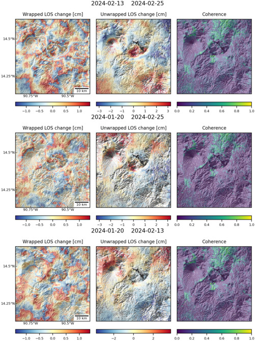
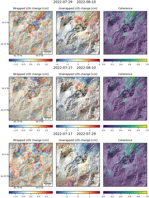
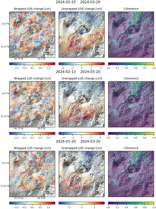
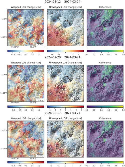
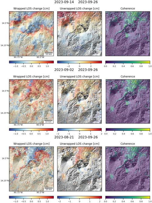
Latest Sentinel-1 Data
Size: 501px x 669px (184.84 KB)
Size: 501px x 668px (188.37 KB)
Size: 501px x 669px (184.67 KB)
Size: 501px x 669px (185.09 KB)
Size: 501px x 668px (183.08 KB)
Size: 619px x 1050px (288.90 KB)
