Panarea

Observations of Deformation

Volcano number:211041
Region:
Country:Italy
Geodetic measurements?Yes
Deformation observation?Yes
Measurement method(s):GPS - continuous, GPS - campaign
Duration of observation:1997 to 2007
Inferred cause(s) of deformation:Hydrothermal
Characteristics of deformation:

Panarea has no known Holocene eruptions. Esposito et al. (2010): Panarea volcano was considered extinct until November 3, 2002, when a submarine gas eruption began in the area of the islets of Lisca Bianca, Bottaro, Lisca Nera, Dattilo, and Panarelli, about 2.5 km east of Panarea Island.The compositions of the 2002 gases and their isotopic signatures suggested that the emissions originated from a hydrothermal/geothermal reservoir fed by magmatic fluids.
Parks et al. (2010) investigate crustal deformation of Panarea volcano using the global positioning system (GPS) velocity field obtained by the combination of continuous and episodic site observations of the Panarea GPS network in the time span 1995–2007. The authors show Panarea volcano has distinct active crustal domains characterized by different styles of horizontal deformation, supported also by volcanological and structural evidence. Their results show subsidence on order of several millimeters/year is affecting the entire Panarea volcano, and a shortening of 10−6 year−1 has been estimated in the Islets area.
Their model reveals that the degassing intensity and distribution are strongly influenced by geophysical-geochemical changes within the hydrothermal/geothermal system. These variations may be triggered by changes in the regional stress field as suggested by the geophysical and volcanological events which occurred in 2002 in the Southern Tyrrhenian area (Esposito et al., 2010).
The Instituto Nazionale di Geofisica e Vulcanologia (INGV) monitors active volcanoes in Italy via integrated multiparametric systems. The INGV Observatories monitor Panarea, as well as Vesuviano and Etneo are responsible for the surveillance of the Campi Flegrei, Vesuvius, Ischia, Etna, Stromboli, , Lipari, Vulcano and Pantelleria volcanoes.
Prior to the 2002 event, one global positioning system (GPS) station was present on Panarea Island as part of the Tyrgeonet Mediterranean GPS network (Anzidei et al. 1995). After November 2002, a dedicated GPS network was planned and set up to monitor the short-term surface and subsurface dynamics at Panarea volcano (Esposito et al., 2010).

Reference(s):Smithsonian Institution Global Volcanism Program
http://www.volcano.si.edu/volcano.cfm?vn=211041
Esposito, A., Anzidei, M., Atzori, S., Devoti, R., Giordano, G., & Pietrantonio, G. (2010). Modeling ground deformations of Panarea volcano hydrothermal/geothermal system (Aeolian Islands, Italy) from GPS data. Bulletin of Volcanology, 72(5), 609-621.
Anzidei M, Baldi P, Casula G, Riguzzi F, Surace L (1995) La rete Tyrgeonet. Suppl Bol Geod Sc Aff LIV, 2 Istituto Geografico Militare Italiano
Location:38.63, 15.07
REST API endpoint (JSON):https://comet.nerc.ac.uk/wp-json/volcanodb/v1/volcano/5268

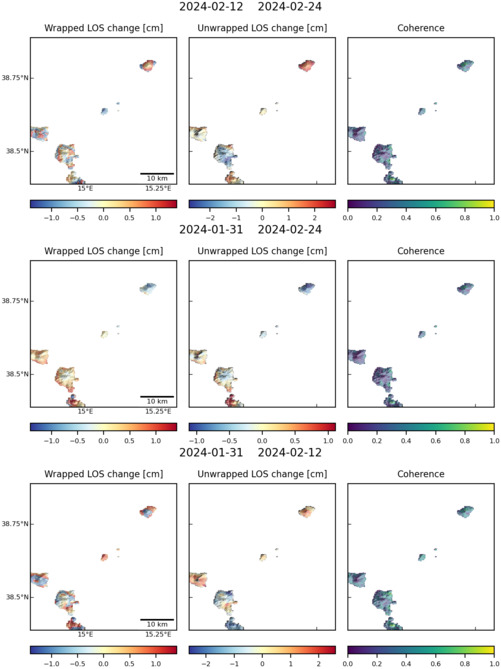
Latest Sentinel-1 Data

Filename: panarea_124D_05178_010601.jpg
Size: 501px x 669px (64.03 KB)
Filename: panarea_044A_05129_010307.jpg
Size: 501px x 669px (64.15 KB)