
Observations of Deformation
| Volcano number: | 211071 |
|---|---|
| Region: | Mediterranean and W. Asia |
| Country: | Italy |
| Geodetic measurements? | Yes |
| Deformation observation? | Yes |
| Measurement method(s): | InSAR, GPS - continuous, GPS - campaign, Levelling, EDM |
| Inferred cause(s) of deformation: | Magmatic, Faulting/tectonics, 1979 to present |
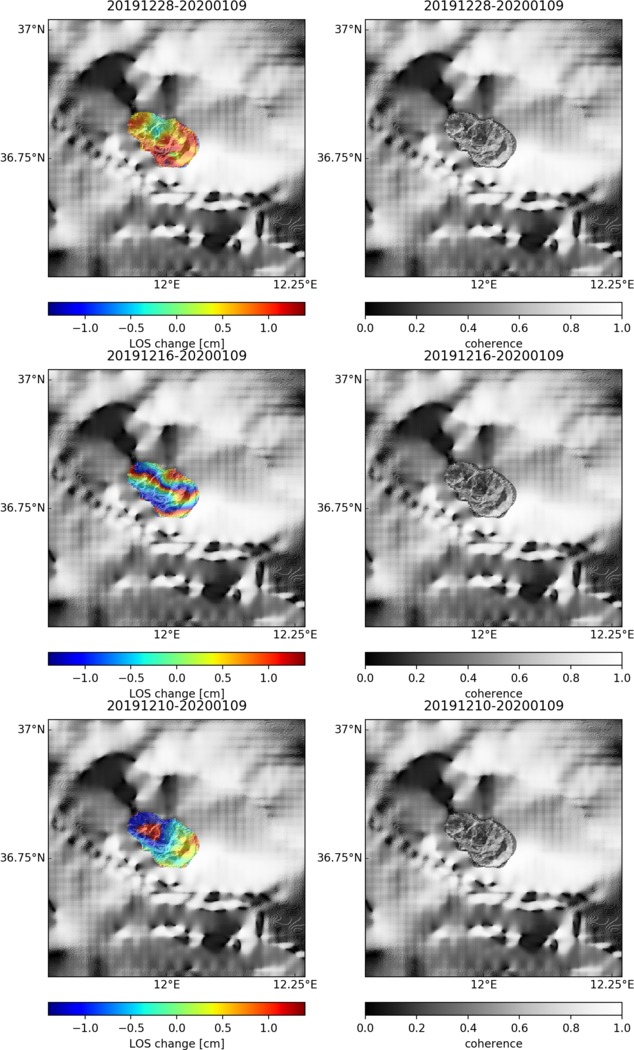
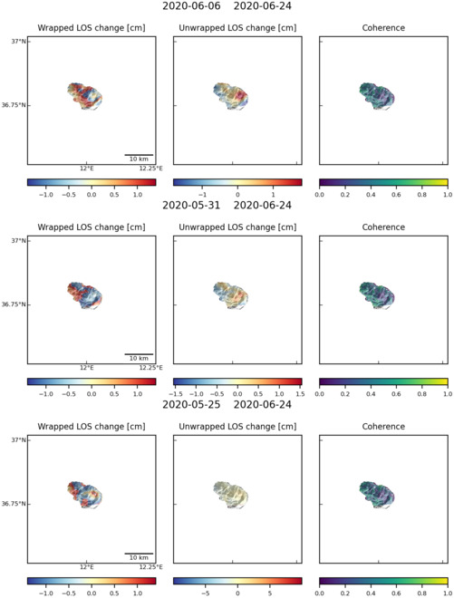
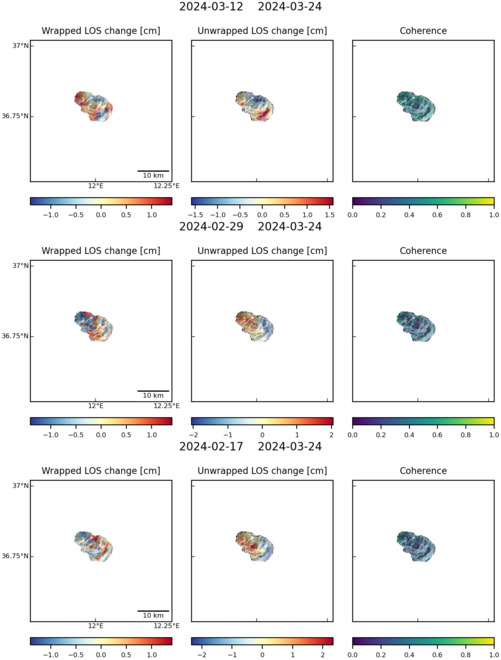
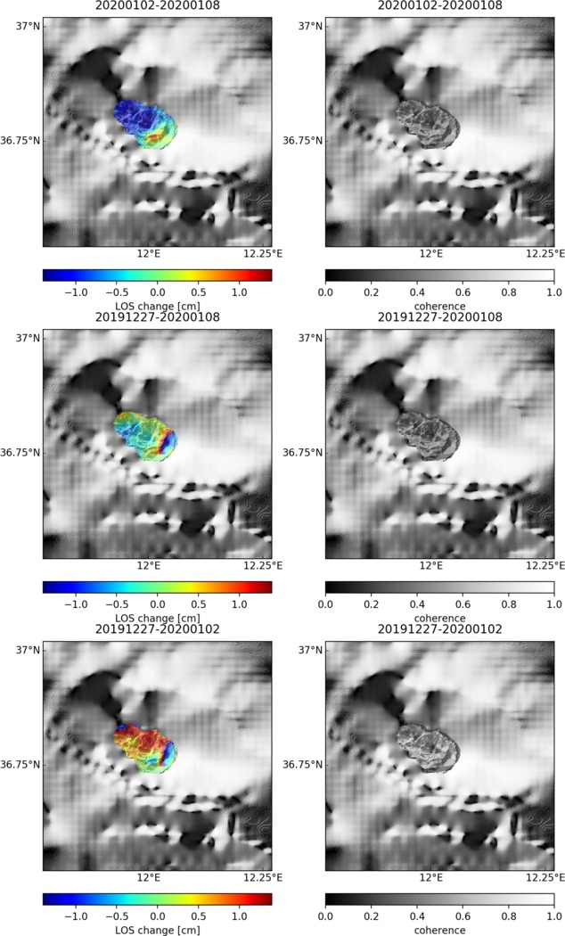
| Characteristics of deformation: | Mattia et al. (2007) present data that shows that the Island of Pantelleria is “deforming due to volcanic and tectonic activity”. The authors “use electro-optical distance meter, leveling, GPS, and differential interferometry synthetic aperture radar data to constrain the inter-eruptive deformation pattern.” They “observe subsidence affecting the main caldera of Pantelleria, in the central southern sector of the island. Subsidence is mainly related to hydrothermal cooling and/or fluid withdrawal from a shallow (4 km below sea level) magma chamber located beneath the caldera”. |
| Reference(s): | Mattia, M., A. Bonaccorso, and F. Guglielmino (2007) Ground deformations in the island of Pantelleria (Italy): Insights into the dynamic of the current intereruptive period, J. Geophys. Res. 112, B11406 |
| Regional and country profiles of volcanic hazard and risk. Report IV of the GVM/IAVCEI contribution to the Global Assessment Report on Disaster Risk Reduction 2015 S.K. Brown, R.S.J. Sparks, K. Mee, C. Vye-Brown, E. Ilyinskaya, S. Jenkins, S.C. Loughlin http://www.preventionweb.net/english/hyogo/gar/2015/en/bgdocs/risk-section/GVMd.%20Global%20Volcanic%20Hazards%20and%20Risk%20Country%20volcanic%20hazard%20and%20risk%20profiles..pdf | |
| Smithsonian Institution Global Volcanism Program http://www.volcano.si.edu/volcano.cfm?vn=211071 | |
| Location: | 36.77, 12.02 |
| REST API endpoint (JSON): | https://comet.nerc.ac.uk/wp-json/volcanodb/v1/volcano/1860 |
Latest Sentinel-1 Data
Size: 634px x 1050px (156.01 KB)
Size: 501px x 660px (57.95 KB)
Size: 501px x 660px (58.90 KB)
Size: 634px x 1050px (155.69 KB)