Observations of Deformation
| Volcano number: | 371020 |
|---|---|
| Region: | Iceland and Arctic Ocean |
| Country: | Iceland |
| Geodetic measurements? | Yes |
| Deformation observation? | No |
| Measurement method(s): | InSAR, GPS - continuous, GPS - campaign, Levelling, Strainmeter, Tiltmeter, EDM |
| Duration of observation: | Continuous |
| Characteristics of deformation: | The Icelandic Meteorological Office (IMO) leads long-term monitoring of geohazards in Iceland and is responsible for maintaining instrument networks for this purpose. FutureVolc detail a description of in-situ monitoring networks in Iceland and available results. In-situ instrumentation to monitor geological hazards in Iceland includes seismic, GPS, strain, hydrological, radar, infrasound networks, and scanning DOAS spectrometers. With InSAR, the volcanoes in Iceland are not covered by a single systematic study but 85% of them have been included in separate studies of volcanic, seismic, cryospheric or geothermal processes (Biggs et al., 2014). |
| Reference(s): | Smithsonian Institution Global Volcanism Program http://www.volcano.si.edu/volcano.cfm?vn=371020 |
| The Icelandic Meteorological Office (IMO) | |
| Sturkell, E., Einarsson, P., Sigmundsson, F., Geirsson, H., Olafsson, H., Pedersen, R., ... & Stefánsson, R. (2006). Volcano geodesy and magma dynamics in Iceland. Journal of Volcanology and Geothermal Research, 150(1), 14-34. | |
| Location: | 63.88, -22.5 |
| REST API endpoint (JSON): | https://comet.nerc.ac.uk/wp-json/volcanodb/v1/volcano/5375 |
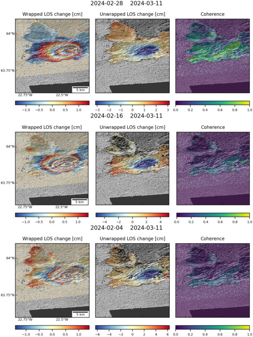
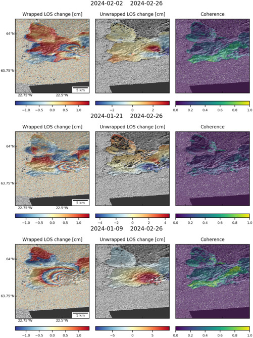
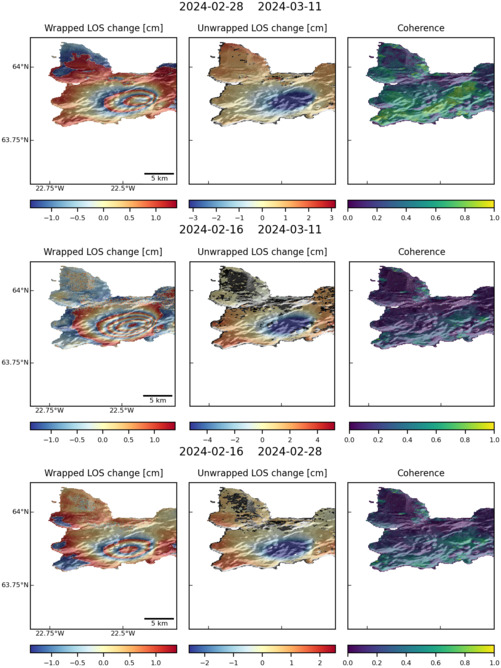
Latest Sentinel-1 Data

Size: 501px x 669px (101.19 KB)

Size: 501px x 668px (157.22 KB)

Size: 619px x 1050px (137.12 KB)

Size: 501px x 669px (159.33 KB)

Size: 501px x 660px (52.18 KB)

Size: 619px x 1050px (133.89 KB)

Size: 501px x 668px (103.12 KB)
