
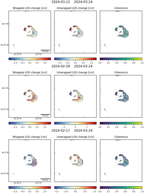
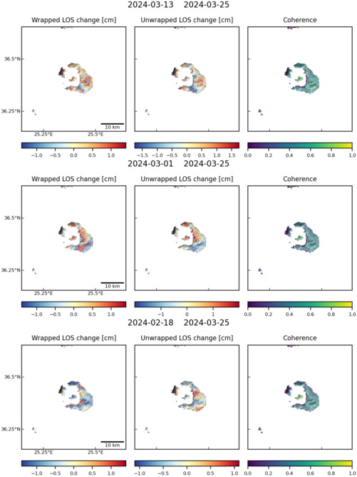
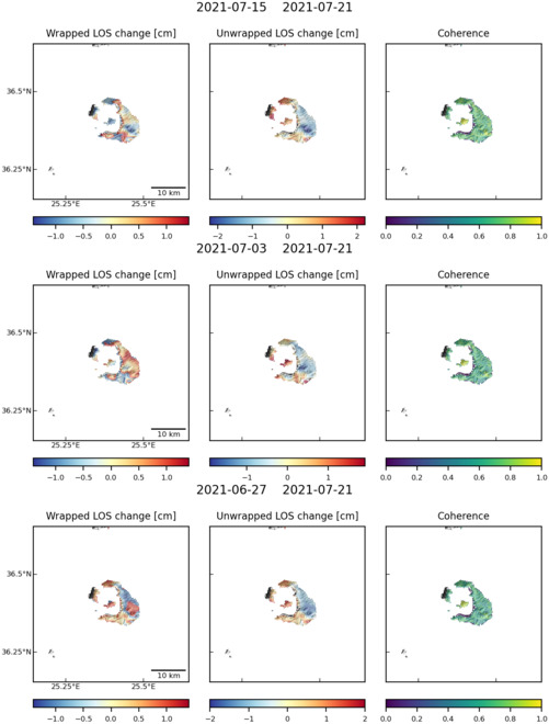
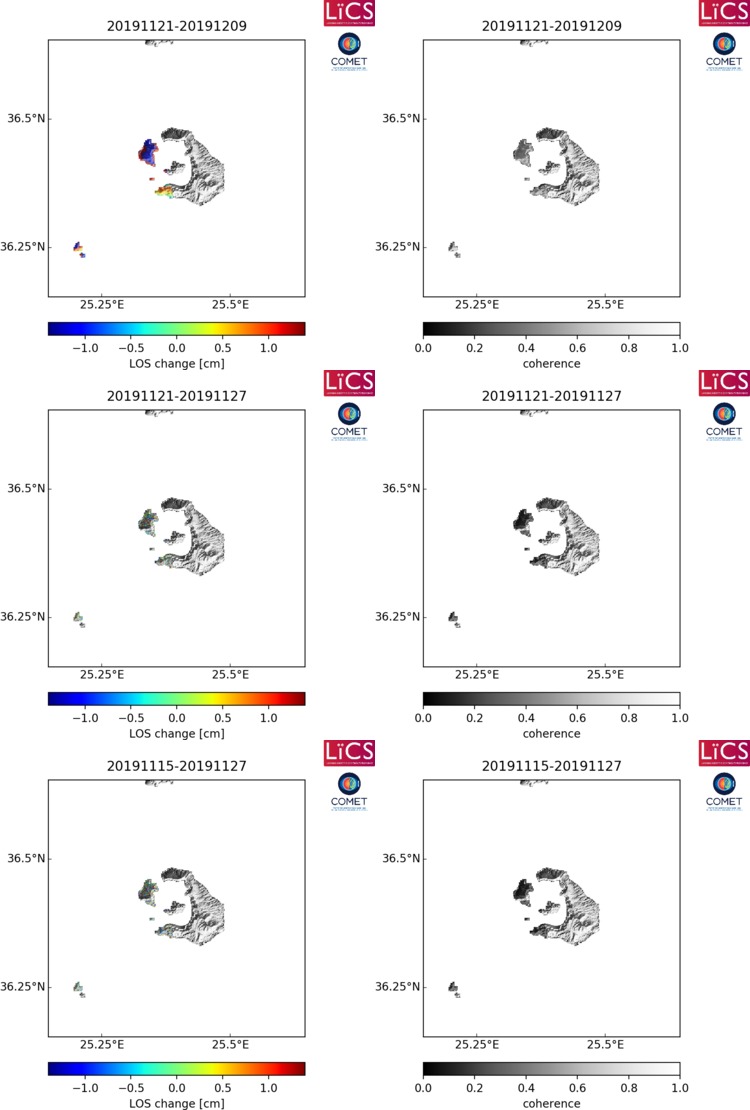
Observations of Deformation
| Volcano number: | 212040 |
|---|---|
| Region: | Mediterranean and W. Asia |
| Country: | Greece |
| Geodetic measurements? | Yes |
| Deformation observation? | Yes |
| Measurement method(s): | InSAR, GPS - continuous, GPS - campaign |
| Characteristics of deformation: | Between 1950 and 2010, the volcano remained quiet, with no documented reports of seismic activity. Although reports of minor inflation were documented in the northern part of the caldera between 1994 and 2000, other studies have argued that the observations are not consistent with the inflation of a shallow magma chamber (Parks et al., 2015 and references therein). Multiple measurements of surface deformation between 1992 and 2010 have confirmed a slow subsidence signal in the southwest region of Nea Kameni. The location and velocity of this signal remained relatively stable throughout this period, with an observed average subsidence rate on the order of 5 to 6 mm/yr (Parks et al., 2015 and references therein). |
| Reference(s): | Parks, M. M., Moore, J. D., Papanikolaou, X., Biggs, J., Mather, T. A., Pyle, D. M., ... & Nomikou, P. (2015). From quiescence to unrest: 20 years of satellite geodetic measurements at Santorini volcano, Greece. Journal of Geophysical Research: Solid Earth, 120(2), 1309-1328. |
| Smithsonian Institution Global Volcanism Program http://www.volcano.si.edu/volcano.cfm?vn=212040 | |
| Location: | 36.404, 25.396 |
| REST API endpoint (JSON): | https://comet.nerc.ac.uk/wp-json/volcanodb/v1/volcano/1791 |
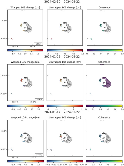
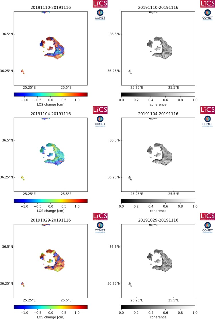
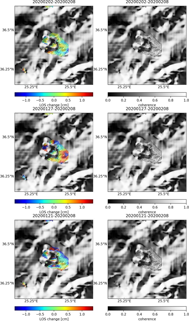
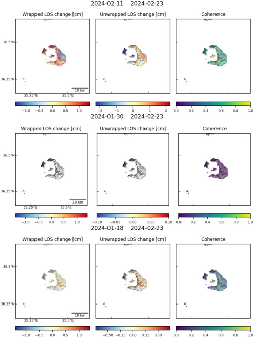
Latest Sentinel-1 Data
Size: 501px x 669px (65.18 KB)
Size: 501px x 669px (64.46 KB)
Size: 501px x 660px (65.22 KB)
Size: 750px x 1110px (100.02 KB)
Size: 501px x 669px (62.74 KB)
Size: 750px x 1110px (101.07 KB)
Size: 619px x 1050px (180.37 KB)
Size: 501px x 669px (64.71 KB)

Size: 619px x 1050px (148.51 KB)