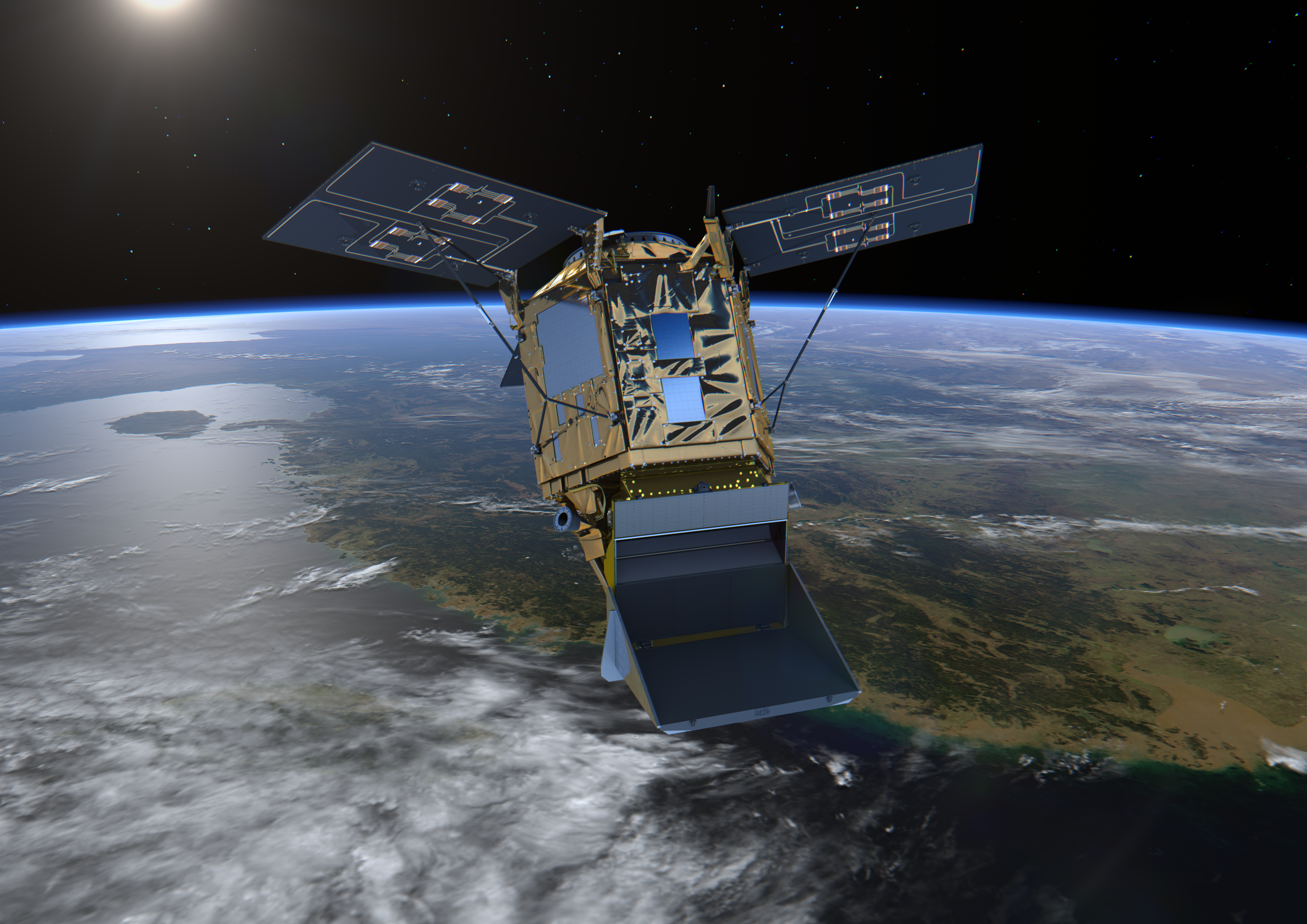
Earth Observation satellites can now detect extremely small changes on the Earth’s surface. By using satellite data, alongside ground-based and other observations, COMET monitors earthquakes and volcanoes across the globe. Regularly gathering and analysing this information helps decisionmakers around the world to reduce the impact of natural hazards, from hazard preparedness to event response.
Satellites such as the European Space Agency’s Sentinel-1 help us to understand how the ground deforms around earthquake centres, faults and volcanoes. They can give very precise measurements of ground motion that we can combine with other techniques to create geophysical models of what is happening beneath the Earth’s surface.
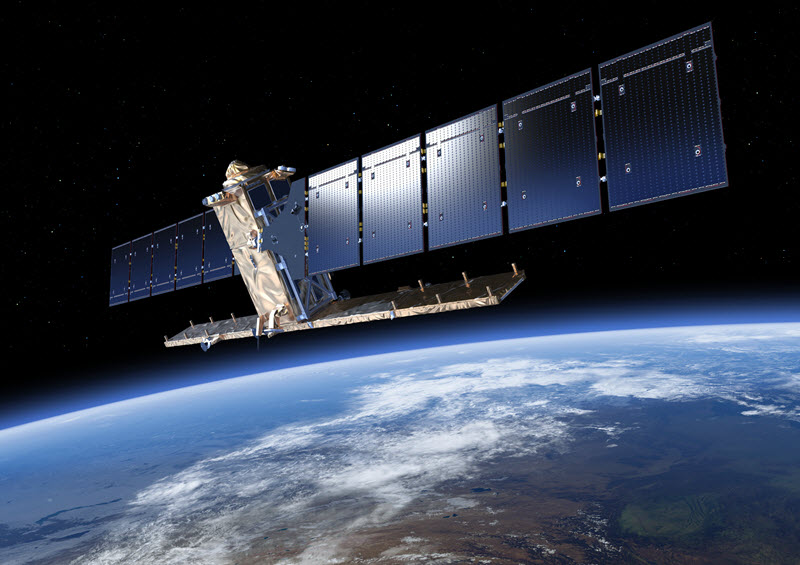
High-resolution imagery and topographic data can also help us to identify seismic and volcanic hazards, and we can use spectroscopy to quantify gas and ash emissions from volcanoes.
All of these techniques provide vital information on the processes underpinning these geohazards.
Selection of Recent Publications
Moualla, Lama; Rucci, Alessio; Naletto, Giampiero; Anantrasirichai, Nantheera, Learning Ground Displacement Signals Directly from InSAR-Wrapped Interferograms, Sensors, vol. 24, no. 8, pp. 2637, (2024)
Watson, Andrew R.; Elliott, John R.; Lazecký, Milan; Maghsoudi, Yasser; McGrath, Jack D.; Walters, Richard J., An InSAR‐GNSS Velocity Field for Iran, Geophysical Research Letters, vol. 51, no. 10, (2024)
Albino, Fabien; Biggs, Juliet; Lazecký, Milan; Maghsoudi, Yasser, Routine Processing and Automatic Detection of Volcanic Ground Deformation Using Sentinel-1 InSAR Data: Insights from African Volcanoes, Remote Sensing, vol. 14, no. 22, pp. 5703, (2022)