El Mayor-Cucapah Earthquake, Mexico Dataset
Collection Overview: Point cloud data (in 2 sections) from 2 tri-stereo data sets of 0.5 m resolution, panchromatic Pleiades 1B images acquired by Airbus on 17 March 2014 and funded by the Natural Environment Research Council (NERC), UK through the Looking inside the Continents from Space (LiCS) large grant (NE/K011006/1). The images were processed using the LPS module of the ERDAS Imagine 2013 software (version 13.00.00, Build 281). A pixel-by-pixel matching procedure was implemented with a window size of 5-by-5 pixels and a correlation coefficient of 0.3 to 0.7.
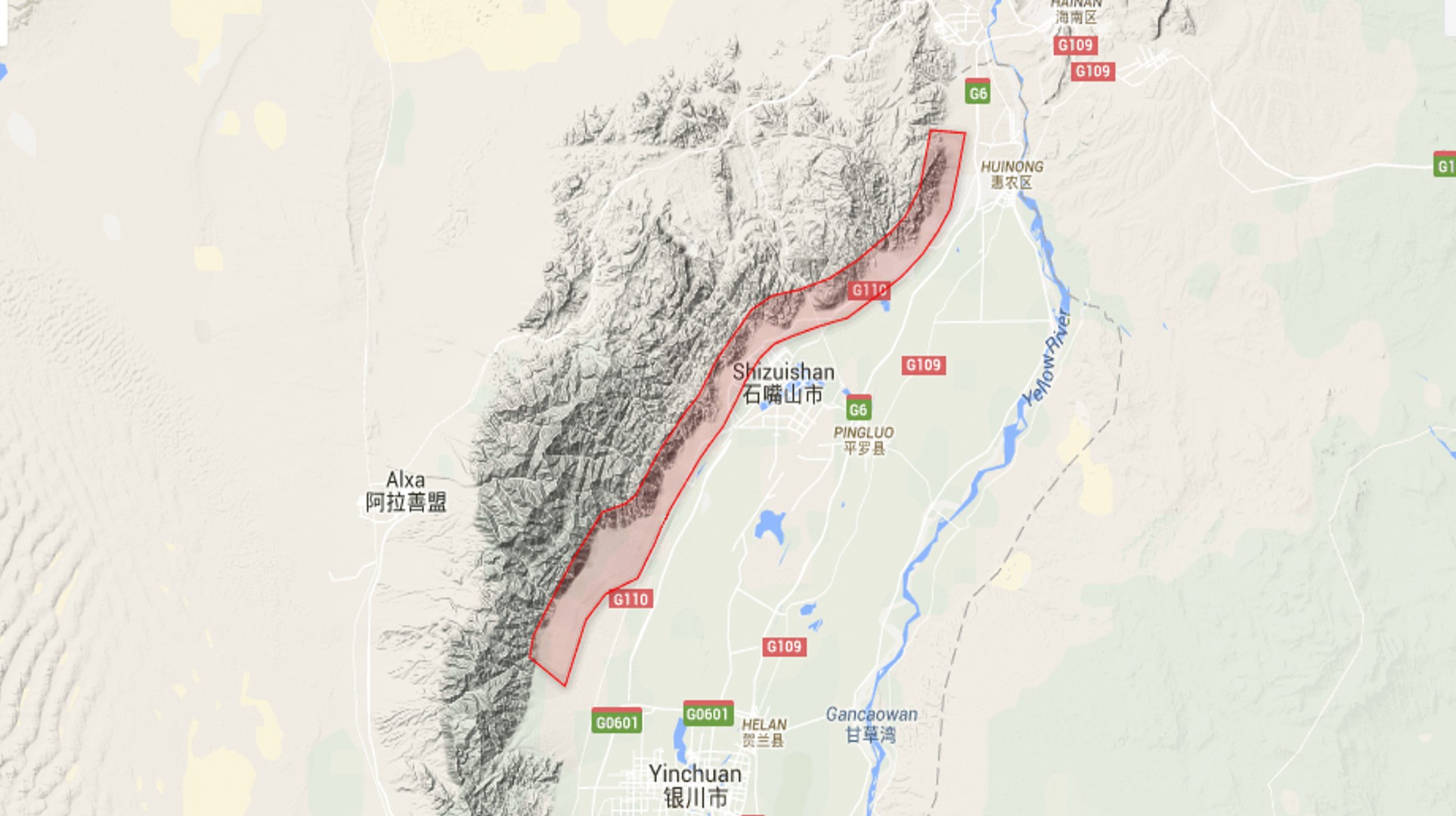
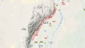
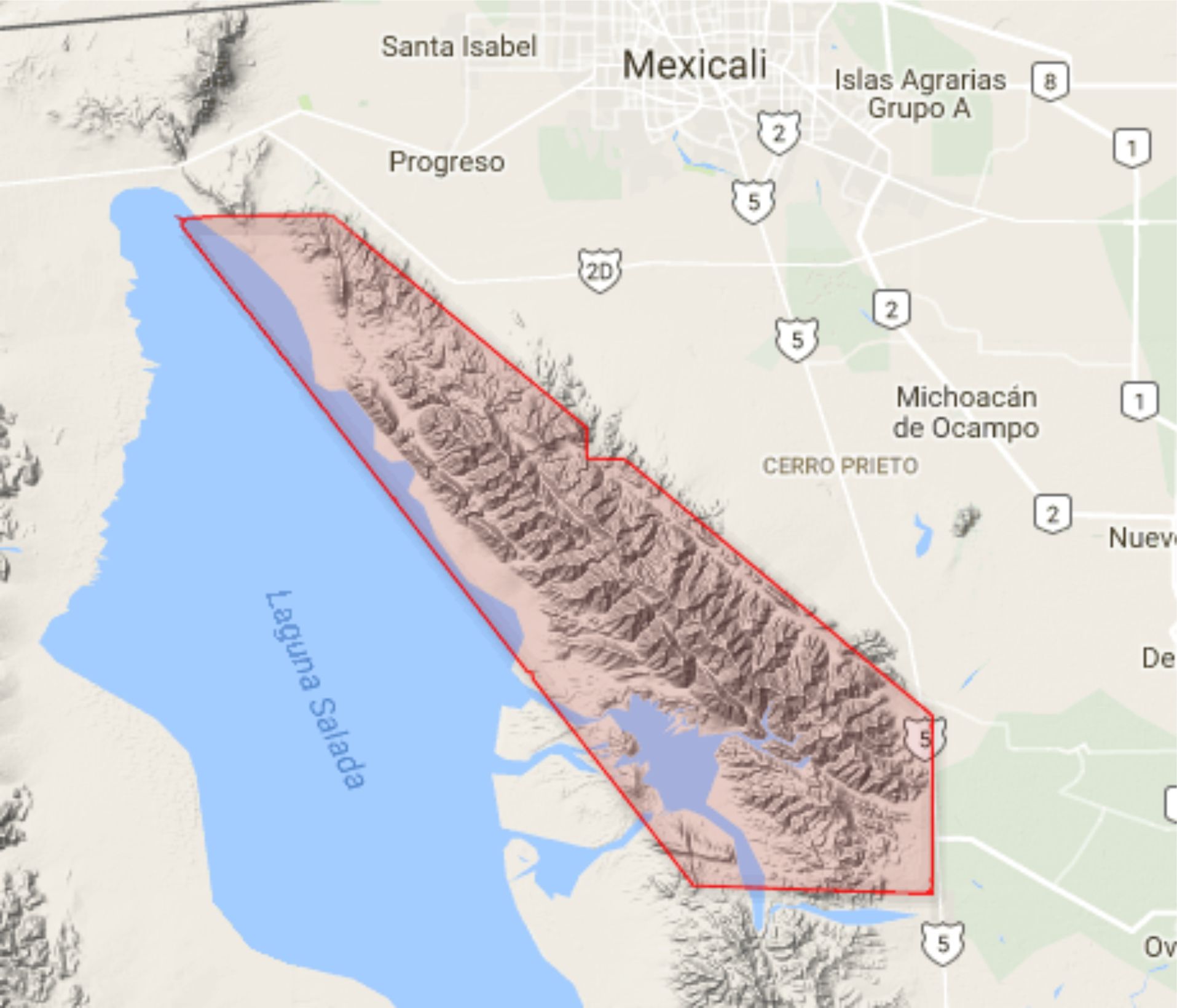
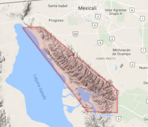
The point cloud covers an approximately 45 km long section of the epicentral area of the 2010 El Mayor-Cucapah earthquake in Mexico. Vertical displacements were determined by differencing the Pleiades topography and the pre-earthquake LiDAR DEM. For further details see: Zhou, Y., B. Parsons, J. R. Elliott, I. Barisin, and R. T. Walker (2015), Assessing the ability of Pleiades stereo imagery to determine height changes in earthquakes: A case study for the El Mayor-Cucapah epicentral area, J. Geophys. Res. Solid Earth, 120, 8793–8808, doi:10.1002/2015JB012358.
Dataset Acknowledgement: Point cloud constructed from data acquired by Airbus Defence and Space (Pleiades 1B) and funded by the Natural Environment Research Council through the Looking inside the Continents from Space (LiCS) large grant (NE/K011006/1), UK. See: Zhou, Y., B. Parsons, J. R. Elliott, I. Barisin, and R. T. Walker (2015), Assessing the ability of Pleiades stereo imagery to determine height changes in earthquakes: A case study for the El Mayor-Cucapah epicentral area, J. Geophys. Res. Solid Earth, 120, 8793-8808, doi:10.1002/2015JB012358.
Dataset Citation: El Mayor-Cucapah Earthquake, Pleiades 2014. Distributed by OpenTopography. https://doi.org/10.5069/G92V2D1B . Accessed: 2025-05-24
Use License: Not Provided
Dataset Keywords: pleiades, satellite photogrammetry, earthquake, rupture, NERC, VHR, lidar
Survey Date: 17/03/2014
Publication Date: 23/08/2016